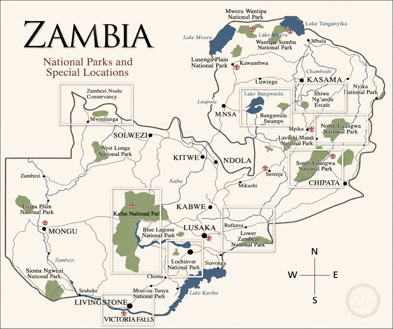
The Zambezi River source lies just kilometres to the north at Kalene Hill. Zambezi Nsulu Conservancy sits at the very origin of one of Africa's great rivers.
This landscape forms part of the Zambezi headwaters system — the West Lunga River, which forms the southern boundary, begins its journey south through the Kabompo to join the upper Zambezi. The conservancy encompasses 60,000 acres of managed wildlife habitat anchored by a private titled core, flanked by Kakula National Forest to the north, Kalenga Forest Reserve to the south, and community conservation agreements on multiple flanks.
The primary objective of Zambezi Nsulu Conservancy is to preserve this vital headwaters area — because the Zambezi is one of the most important rivers in Africa. It is the continent's fourth-longest river at roughly 2,575 kilometres, draining a basin of some 1.39 million square kilometres across six countries and sustaining more than 40 million people on its course from these highlands to the Indian Ocean. Protecting the river where it begins protects everything that depends on it downstream.
"We are protecting a critical headwaters area of one of the most important river systems in Africa. It's important that large landscapes like this be protected, so that they will provide for future generations of Zambians."— The Zambezi Nsulu Conservancy Team
The headwaters of a great river is not a single point — it is a region. The recognised source of the Zambezi is a marshy spring near Kalene Hill, but the river is truly born of the entire high plateau around it: a broad sponge of dambo wetlands, miombo, and dry evergreen forest that gathers the rains and meters them into the infant river.
Zambezi Nsulu lies just 35 miles from that source spring — well within the headwaters region. The wetlands and forest we protect are part of the very system that feeds the Zambezi. The conservancy is not merely near the headwaters; it is part of them. Protecting this ground protects a river that eight countries and more than forty million people depend on.
"Protect the water where the river is born, and you protect everything downstream of it — the land, the wildlife, and the people who have always lived beside it."
"The conservation model is simple: visiting guests book the exclusive-use camp and choose their activities. All proceeds are reinvested into the conservancy's operations — directly funding anti-poaching and wildlife programs, and the community agreements that give the people who live alongside this landscape a reason to protect and conserve it."
Every booking directly funds anti-poaching operations across 75 kilometres of managed conservancy boundary, wildlife reintroduction, community employment, West Lunga fishery conservation, and the protection of one of Africa's rarest forest ecosystems.
Conservation programming reflects a genuine commitment to building stronger communities, protecting landscapes, and improving wildlife populations across Zambia.
Our Conservation Work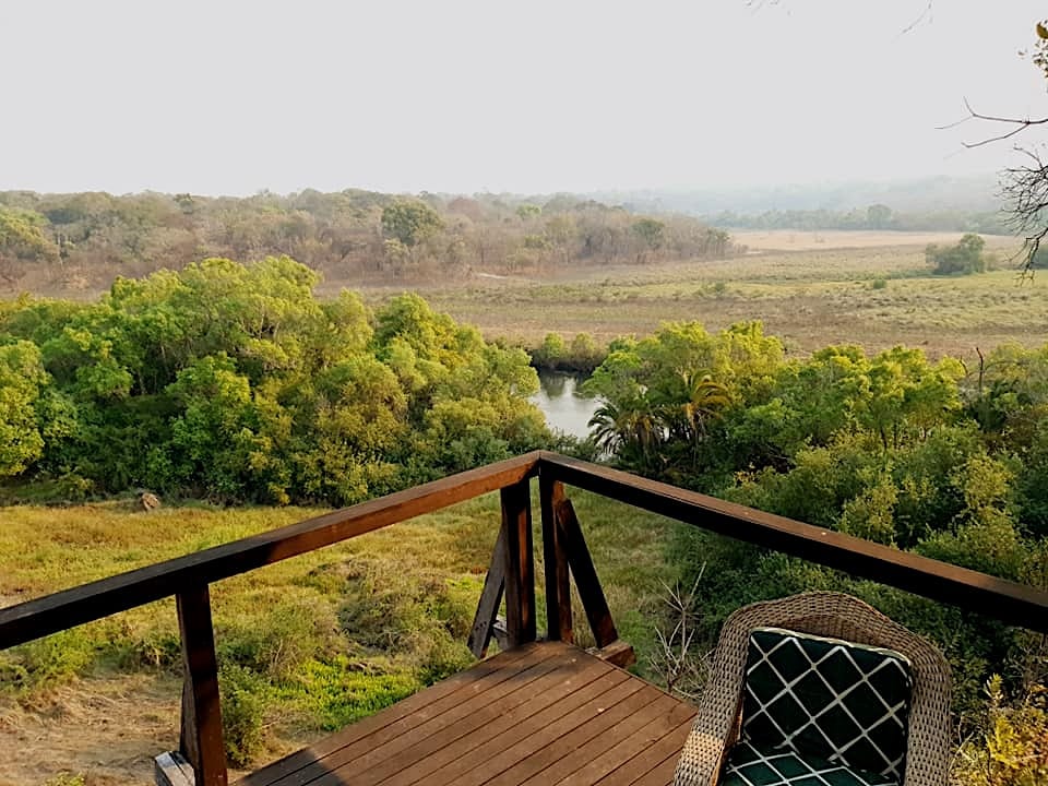
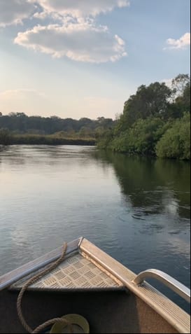
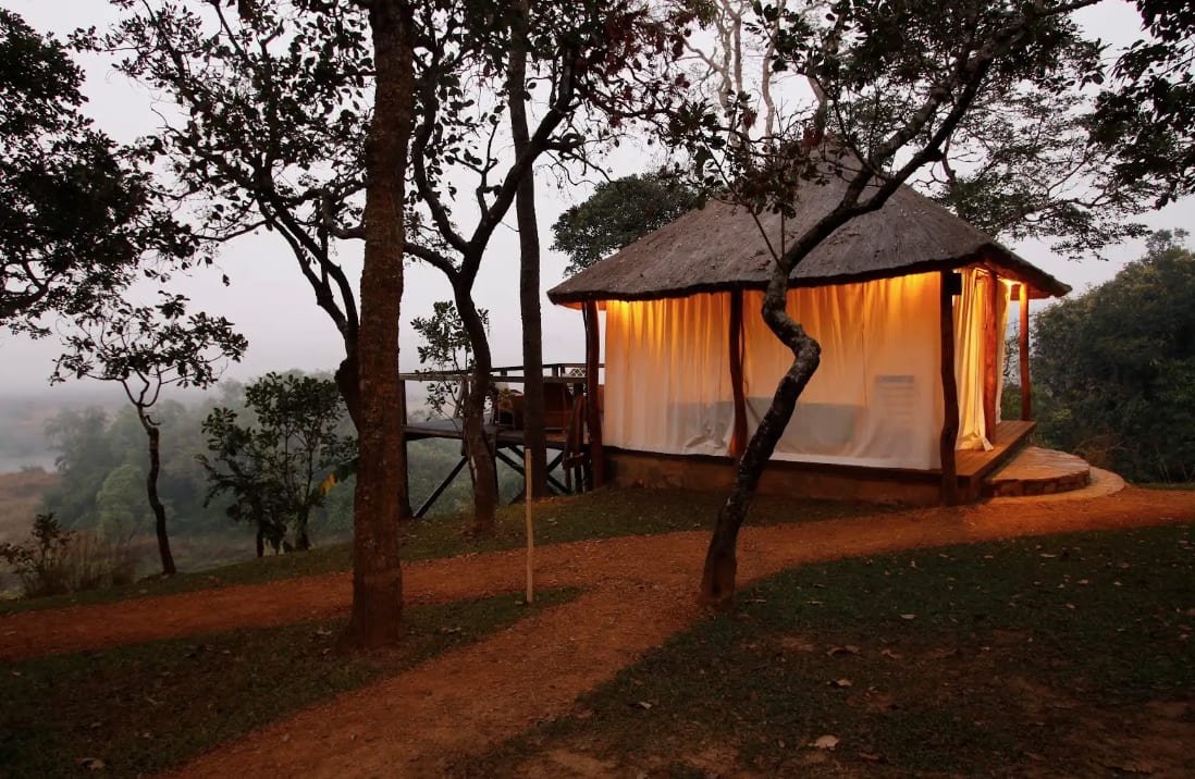
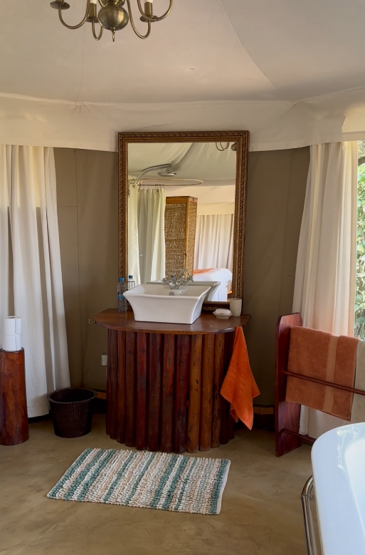
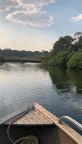
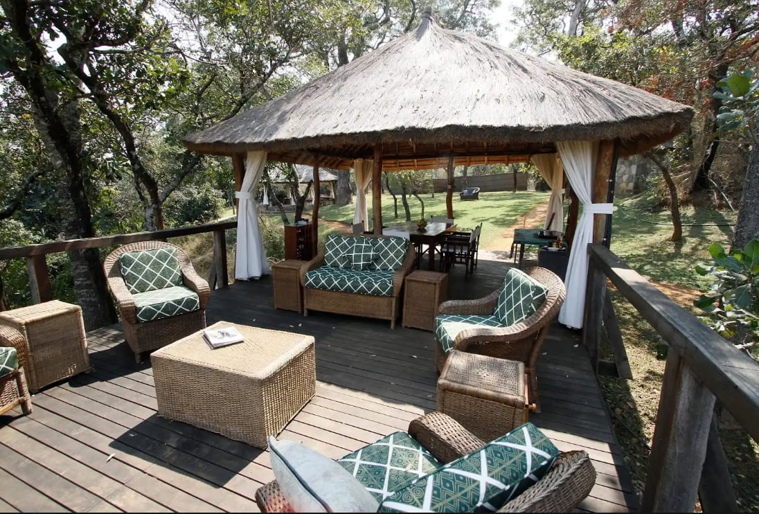
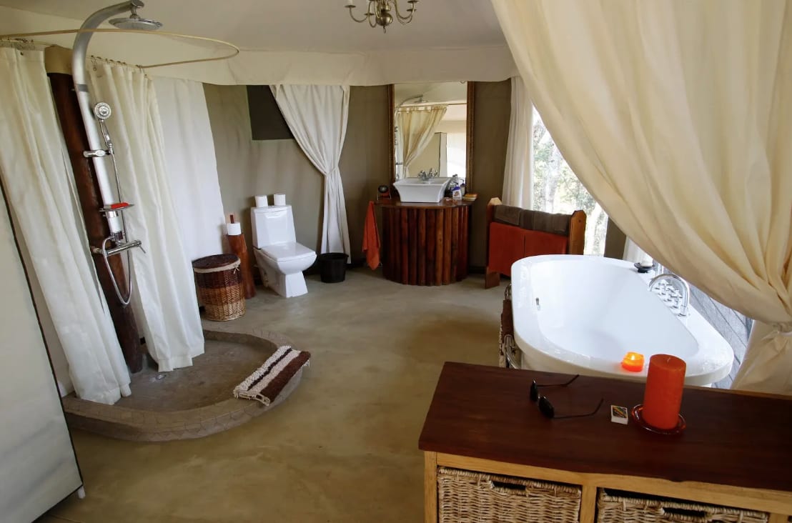
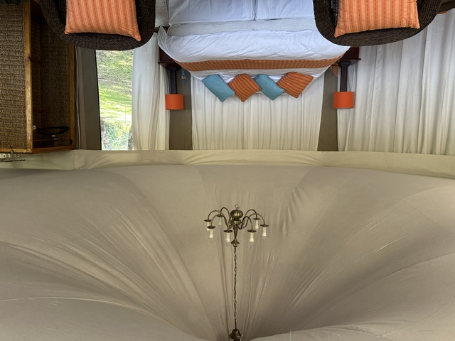
The Camp is five luxury tents situated above the West Lunga River — exclusive use per booking. Open-air dining and lounge areas sit on a bluff overlooking the West Lunga River and the open plains across it. Amenities include WiFi, in-situ bathrooms, and a firepit area under millions of stars. Your party has the full operation for the duration — 18 kilometres of river frontage on the titled core, yours alone.
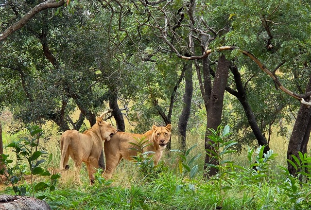
At night, the roar of the conservancy's resident lions carries to the camp firepit — four animals introduced as part of a long-term predator restoration initiative under DNPW oversight.
View PackagesPlan Your Visit
Come experience a truly extraordinary area that is worth preserving.
info@nkwaji.com k;">
k;">
60,000 acres at the origin of one of Africa's great rivers
Zambezi Nsulu Conservancy takes its name from the Lunda word for headwaters. The Zambezi River source lies just kilometres to the north at Kalene Hill — the conservancy sits at the very origin of one of Africa's great rivers. The West Lunga River, which forms the southern boundary, begins its own journey south through the Kabompo to join the upper Zambezi.
The conservancy sits just south of the DRC–Zambia border in traditional Lunda territory. Kakula National Forest borders to the north; Luakera National Forest to the northwest; Kalenga Forest Reserve lies to the south beyond the West Lunga River. The conservancy is embedded within a protected landscape on multiple sides.
The terrain is varied and ecologically layered. Miombo woodland covers the higher ground, open and light-filled. Below it, seasonally flooded grasslands and dambos hold moisture long after the rains and concentrate game through the dry months.
In areas where the water table meets the surface, the landscape shifts into swampy ground, papyrus, and mushitu — ribbons of swampy evergreen gallery forest along the drainage lines. Cryptosepalum forest, dominated by the mukwe tree, occurs in parts of the conservancy and is recognised internationally as a significant carbon sink.
The conservancy has recorded over 400 bird species and holds Important Bird Area status.
The headwaters of a great river is not a single point — it is a region. Zambezi Nsulu lies just 35 miles from the Zambezi's source spring at Kalene Hill, well within the headwaters region. The conservancy is not merely near the headwaters; it is part of them — and protecting this ground protects a river that eight countries and more than forty million people depend on.
Read: Why This Is the Headwaters →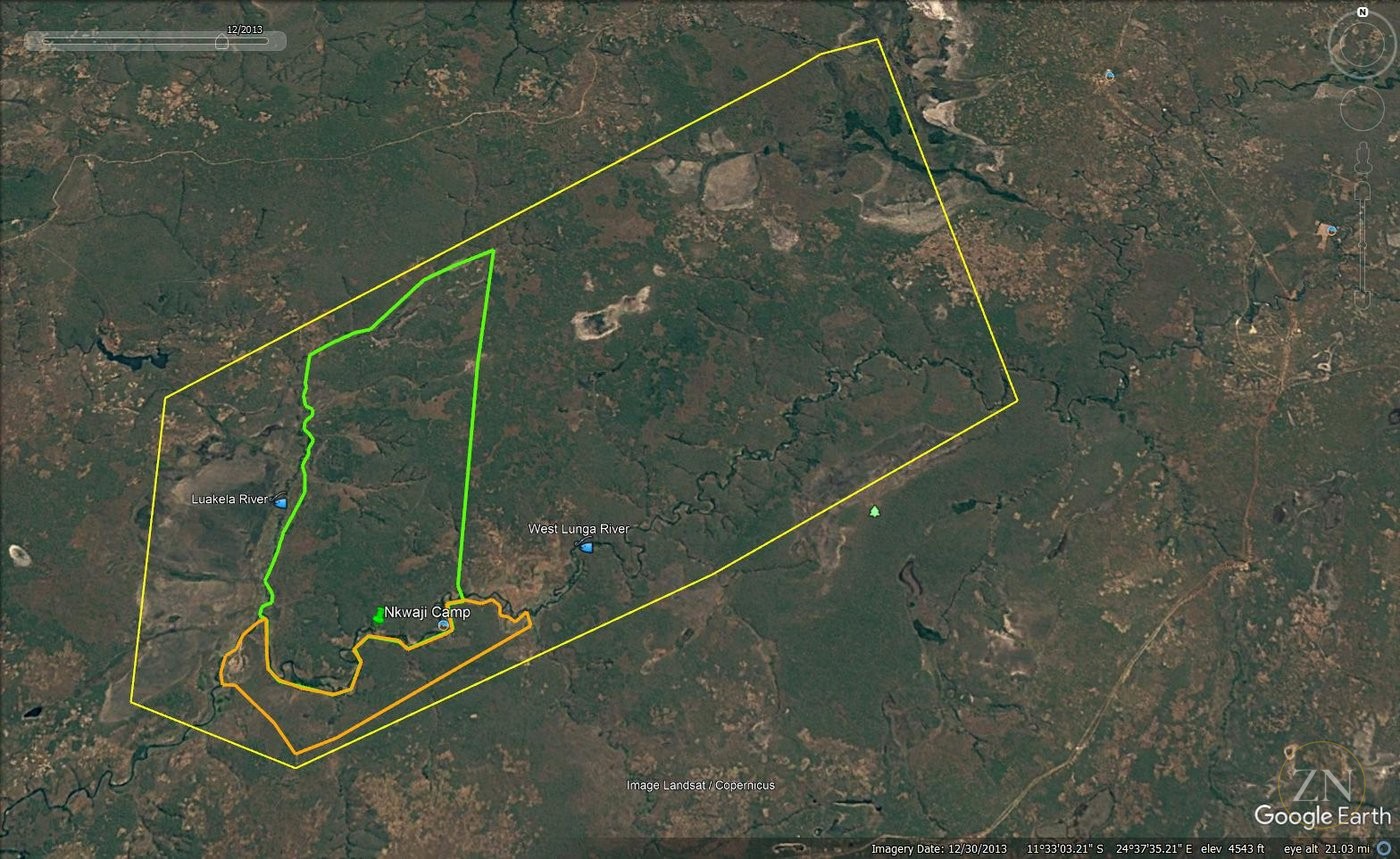
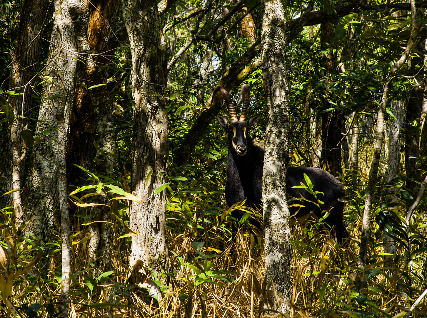
The cryptosepalum dry evergreen forests within the conservancy are among the rarest woodland types in Africa. Dominated by the mukwe tree, they form a dense, closed canopy over waterlogged soils — recognised internationally as significant carbon sinks.
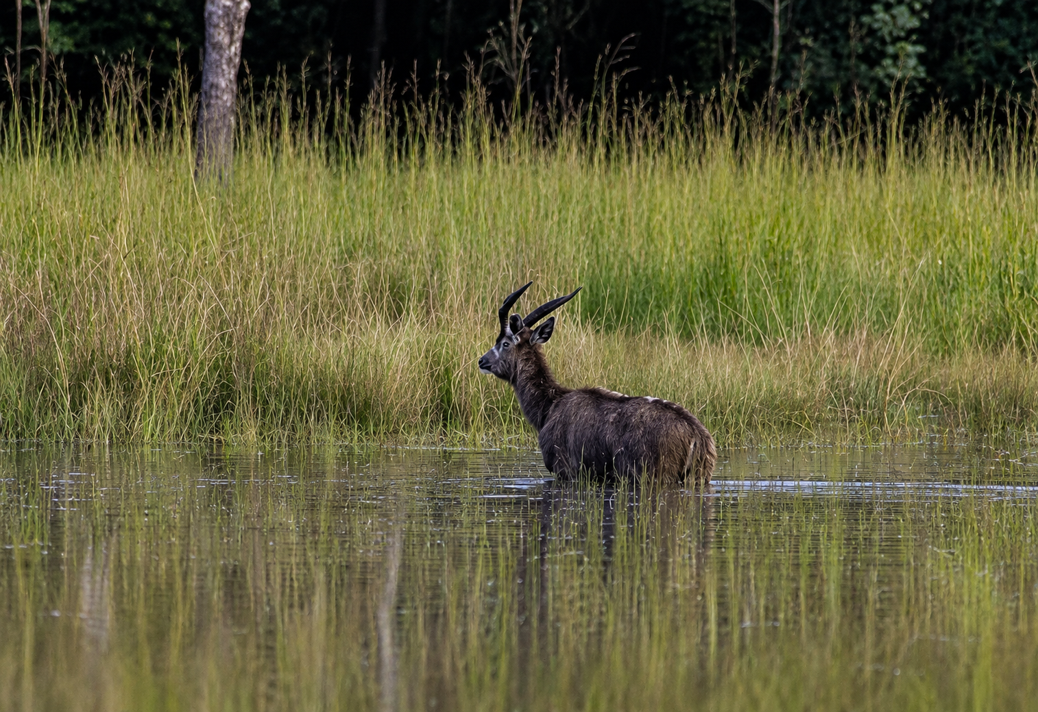
The sitatunga — one of Africa's most elusive antelopes — is found in areas of cryptosepalum habitat and adjacent swampy ground. Its presence here is a direct indicator of intact, undisturbed ecosystem function.
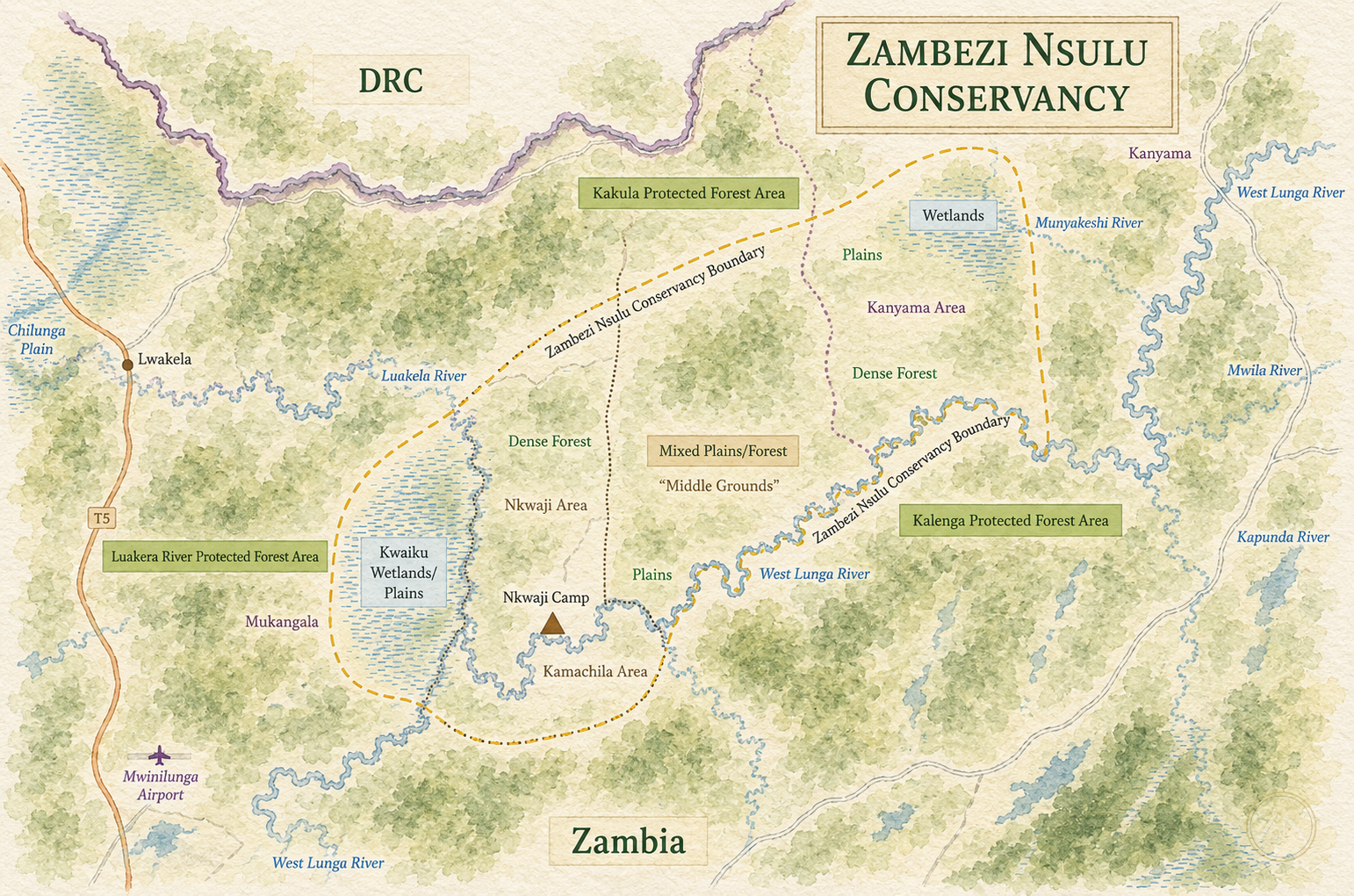
Northwestern Province, Zambia — just south of the DRC–Zambia border, in traditional Lunda territory.
60,000 acres (24,000 hectares) total — private titled core, private land across the West Lunga, and surrounding community lands held in conservation partnership.
West Lunga River (south) · Kalenga Forest Reserve (south) · Luakela River (west) · Kakula National Forest (north) · Luakera National Forest (northwest)
18km on the titled core · 46km+ across the full conservancy. West Lunga → Kabompo → upper Zambezi system.
May through October. 45-minute drive from Mwinilunga airstrip. Approximately 2-hour charter from Lusaka (LUN).
20+ mammal species · 400+ bird species · Important Bird Area · Lion predator restoration program under DNPW oversight.
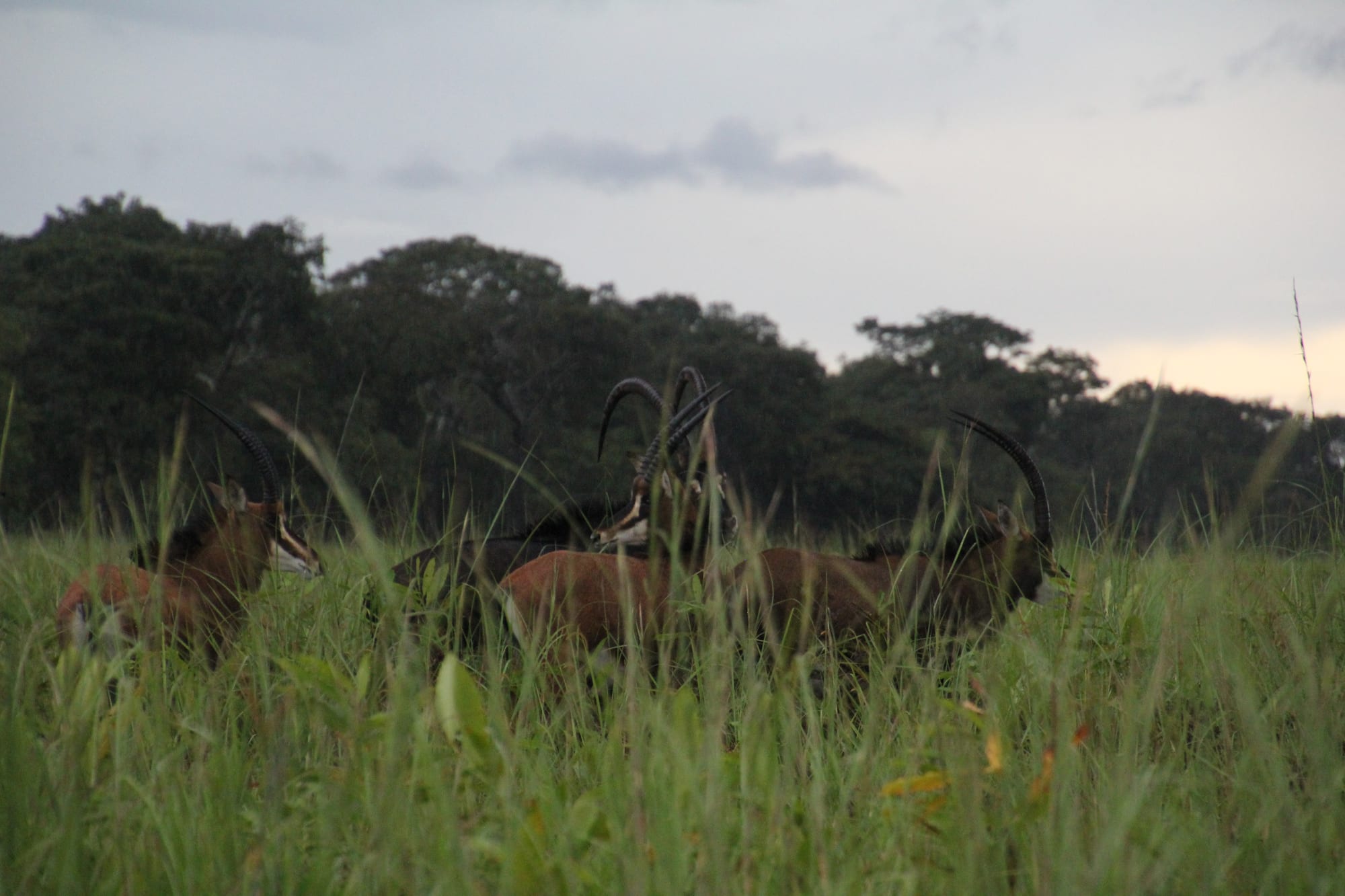
Explore the Conservancy's bountiful flora and fauna that this rich landscape produces.
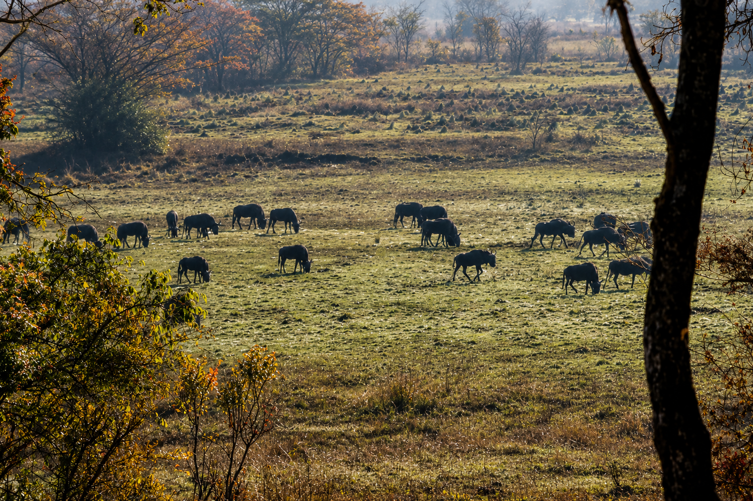
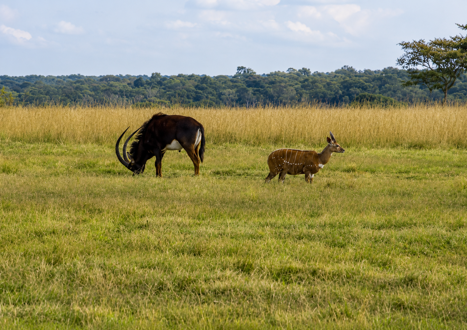
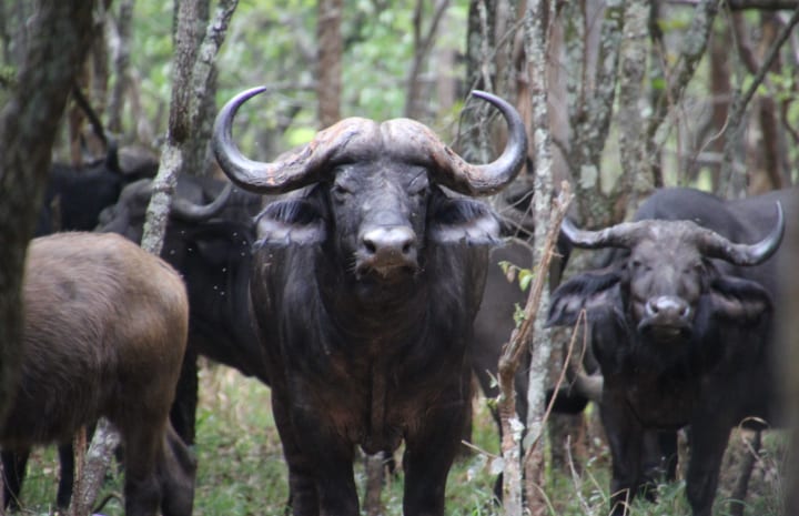
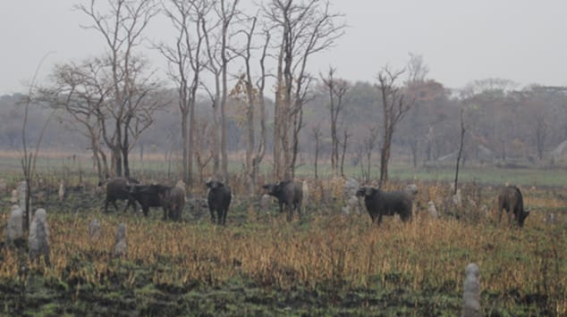
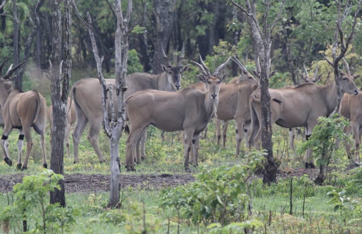
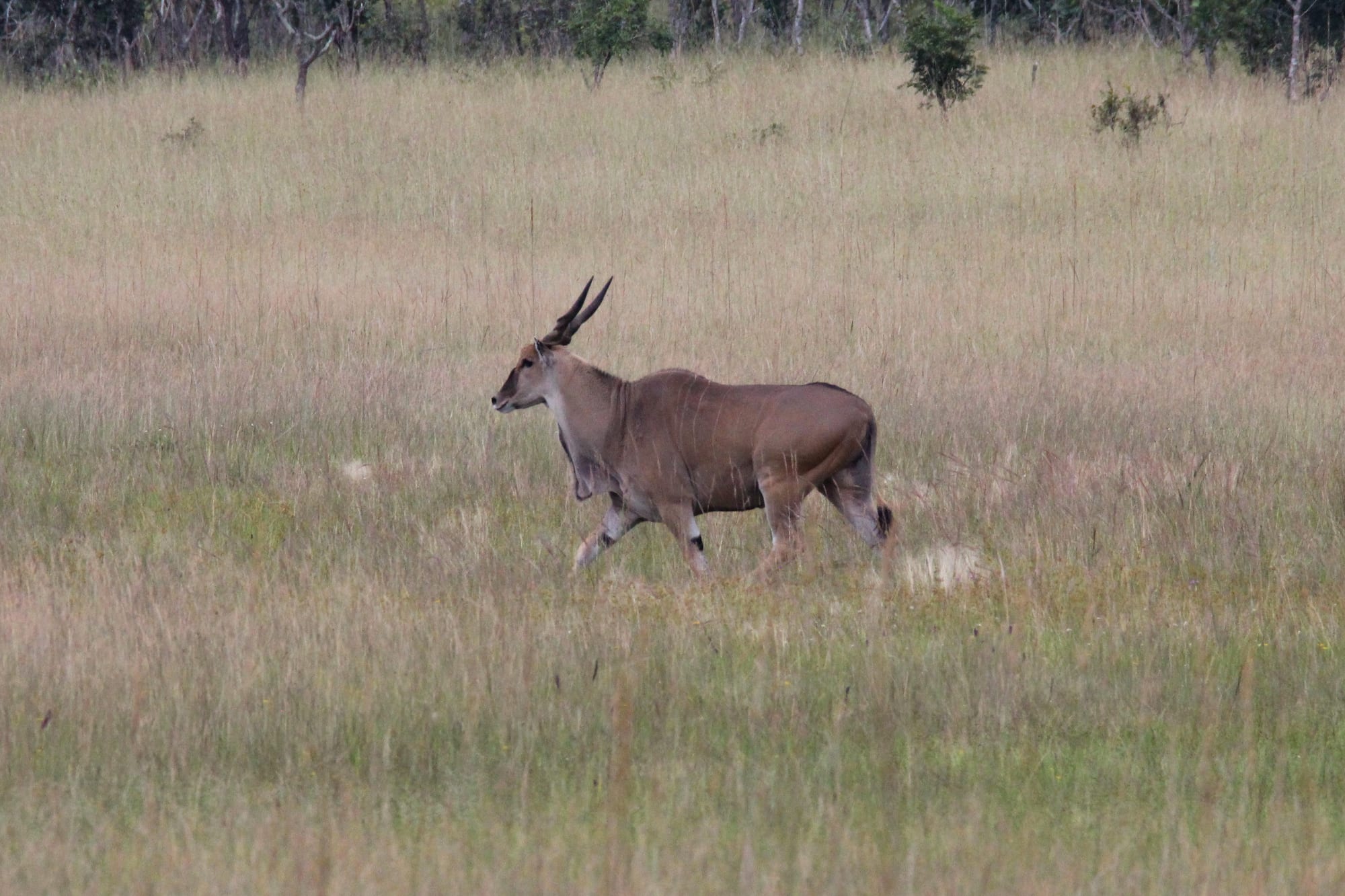
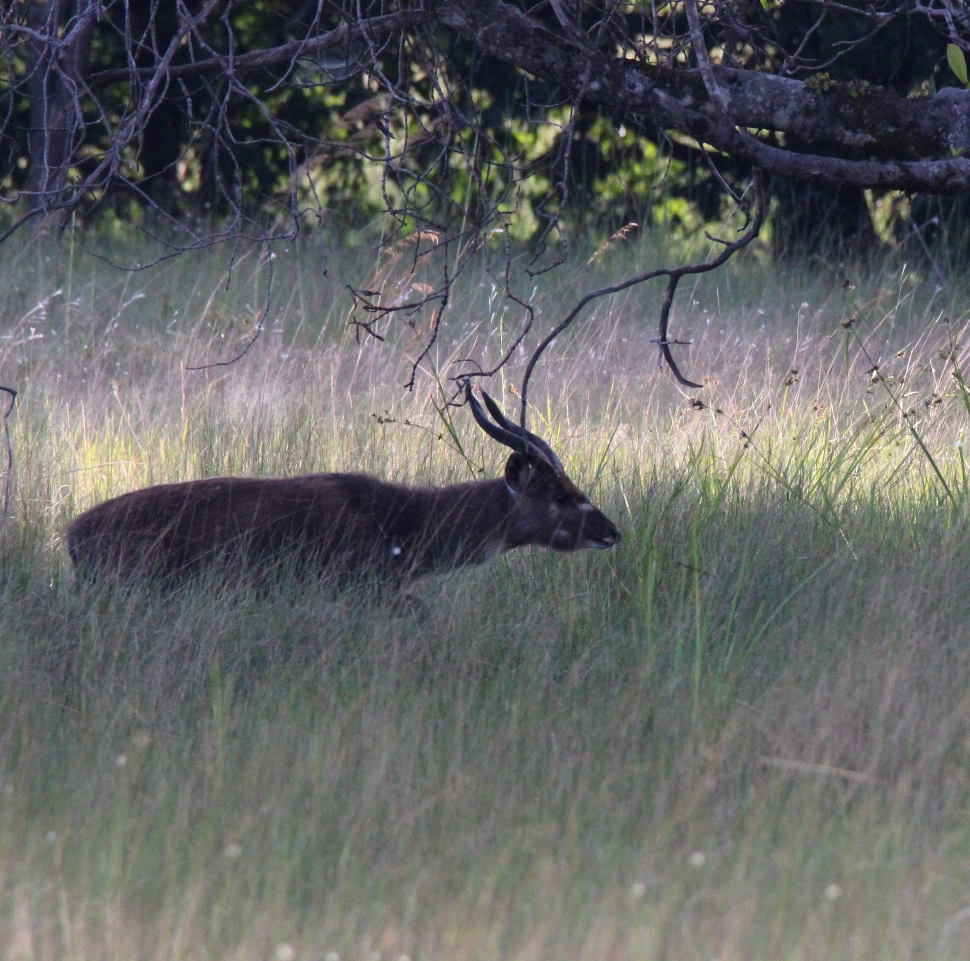
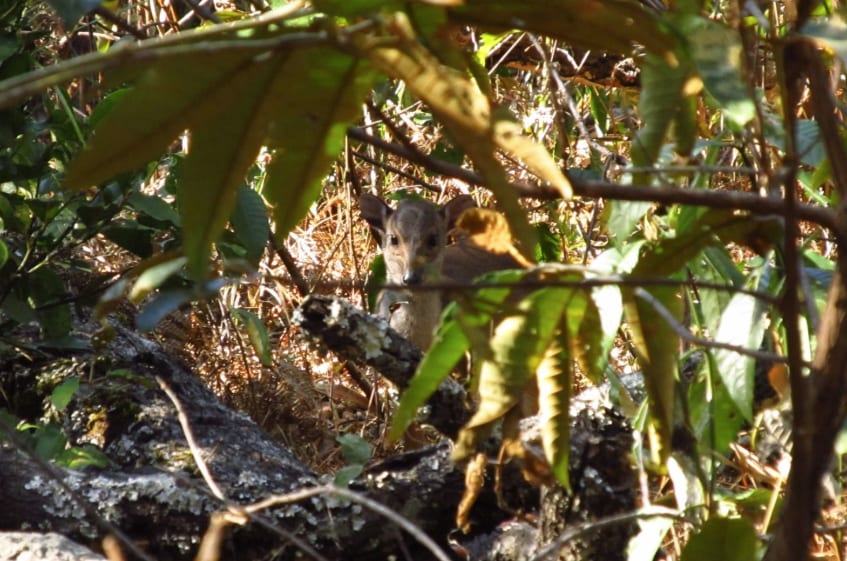
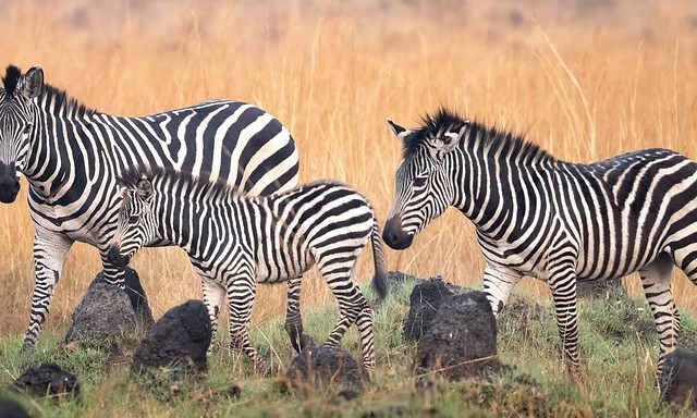
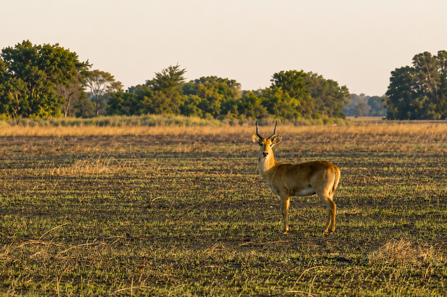
Wildlife is found in its natural range, across wetland and woodland, dambo and gallery forest.
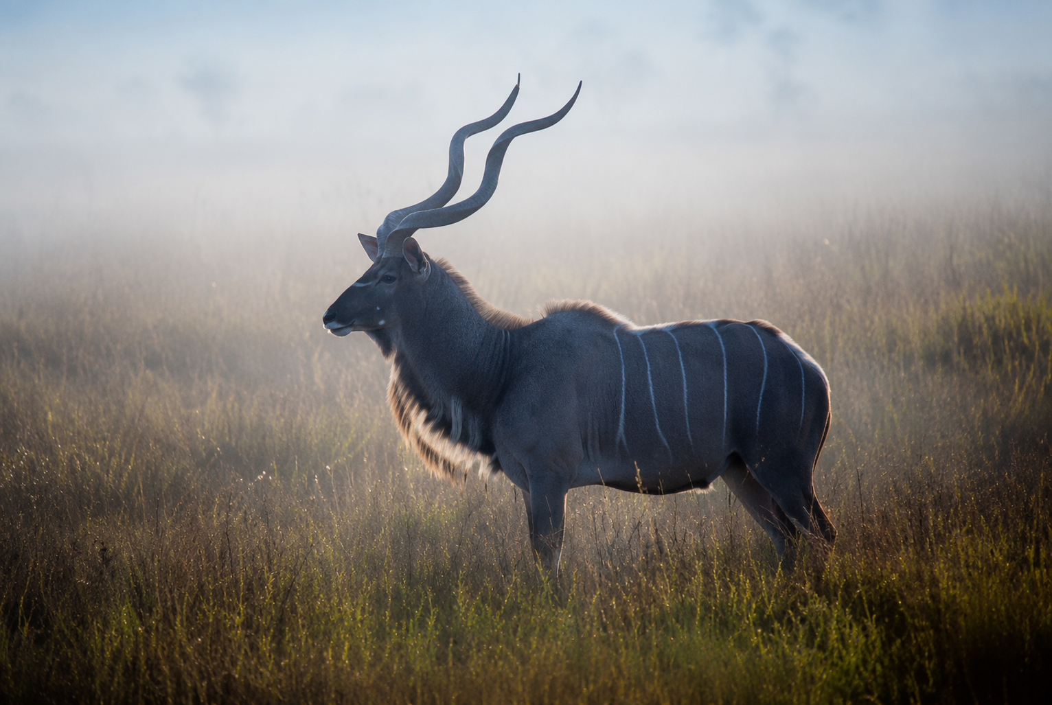
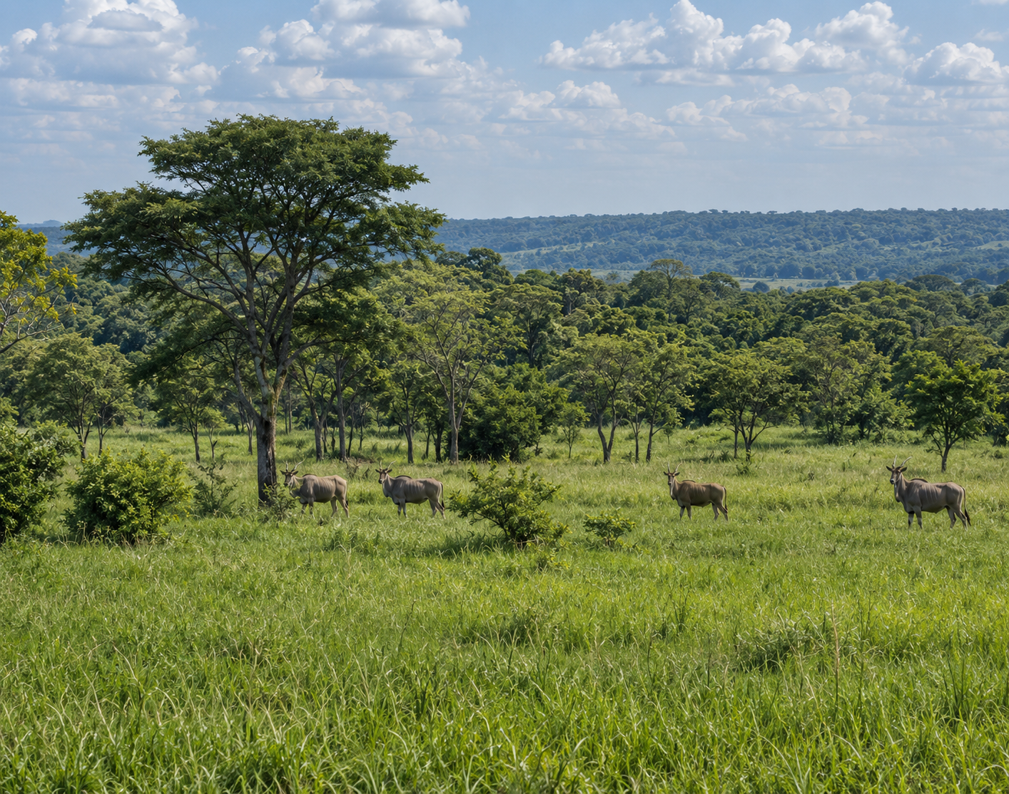
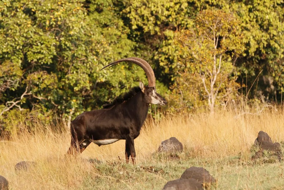
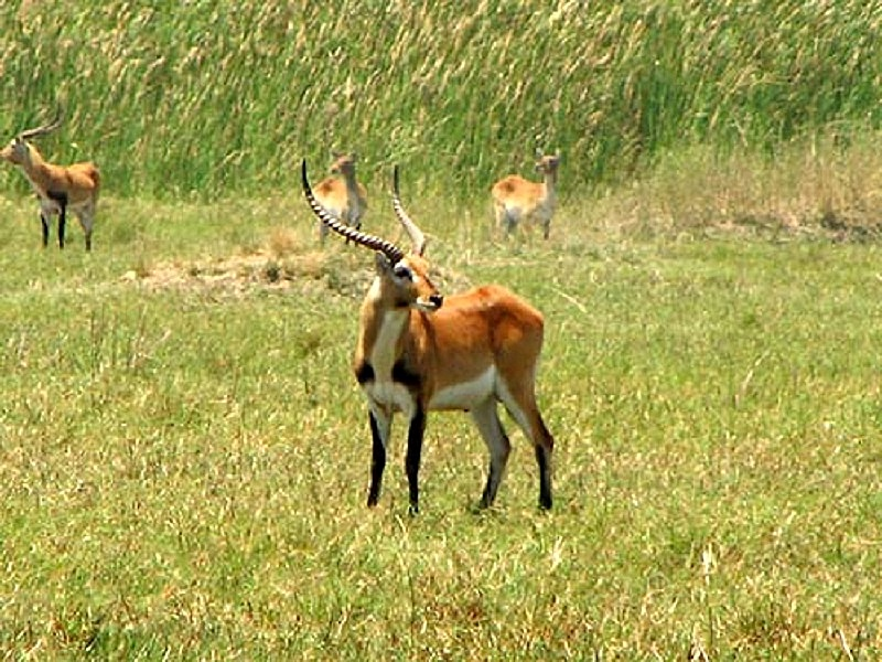
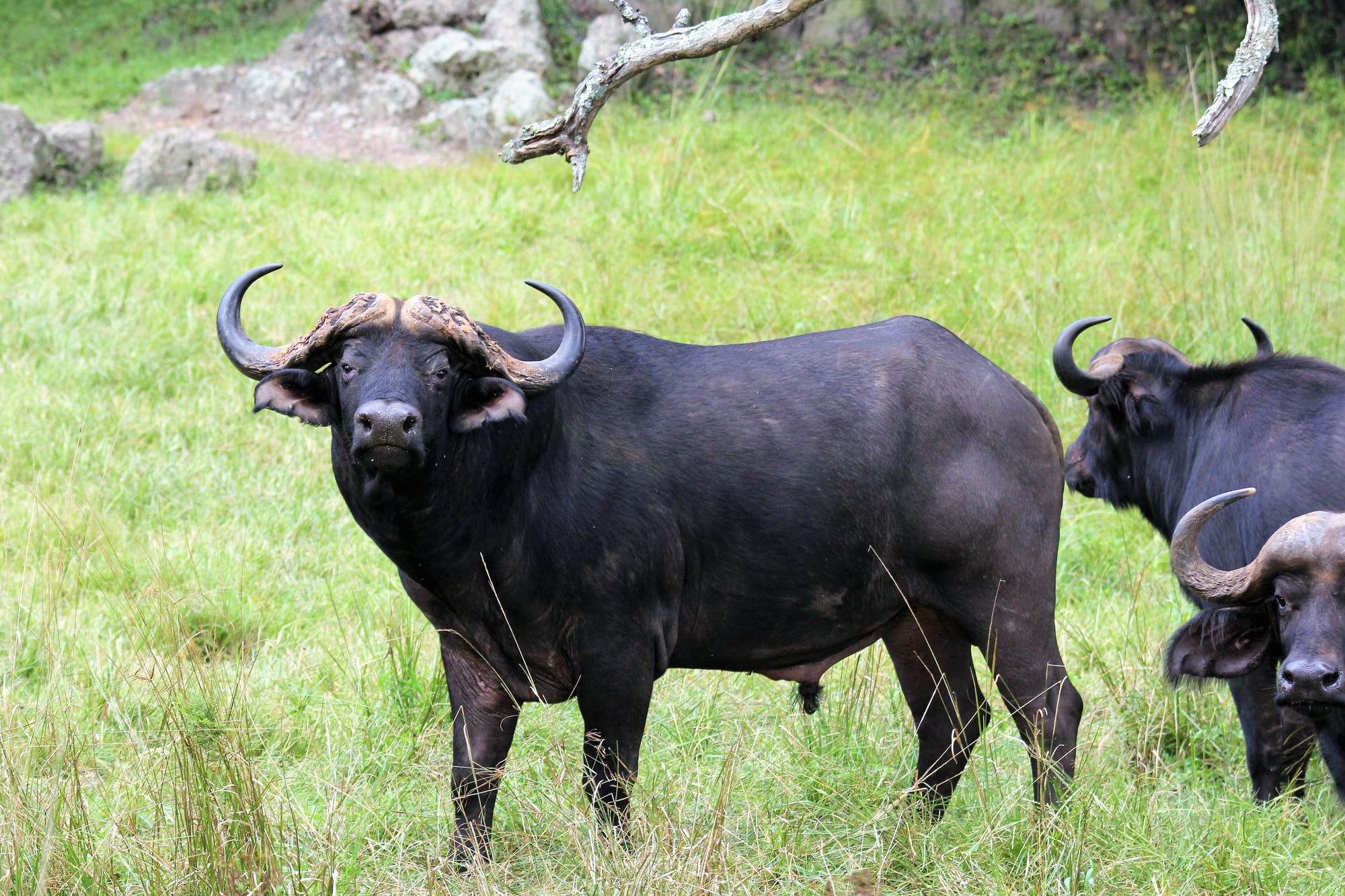
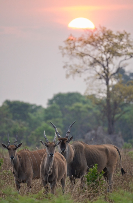
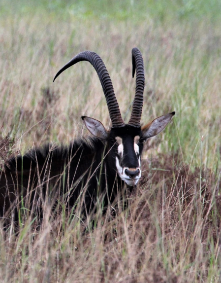
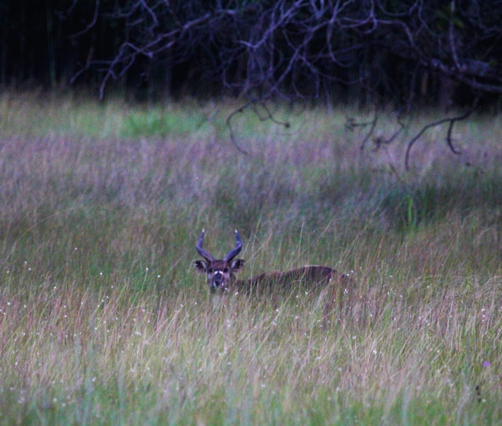
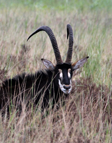
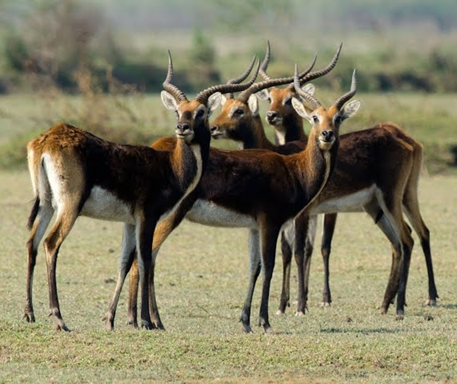
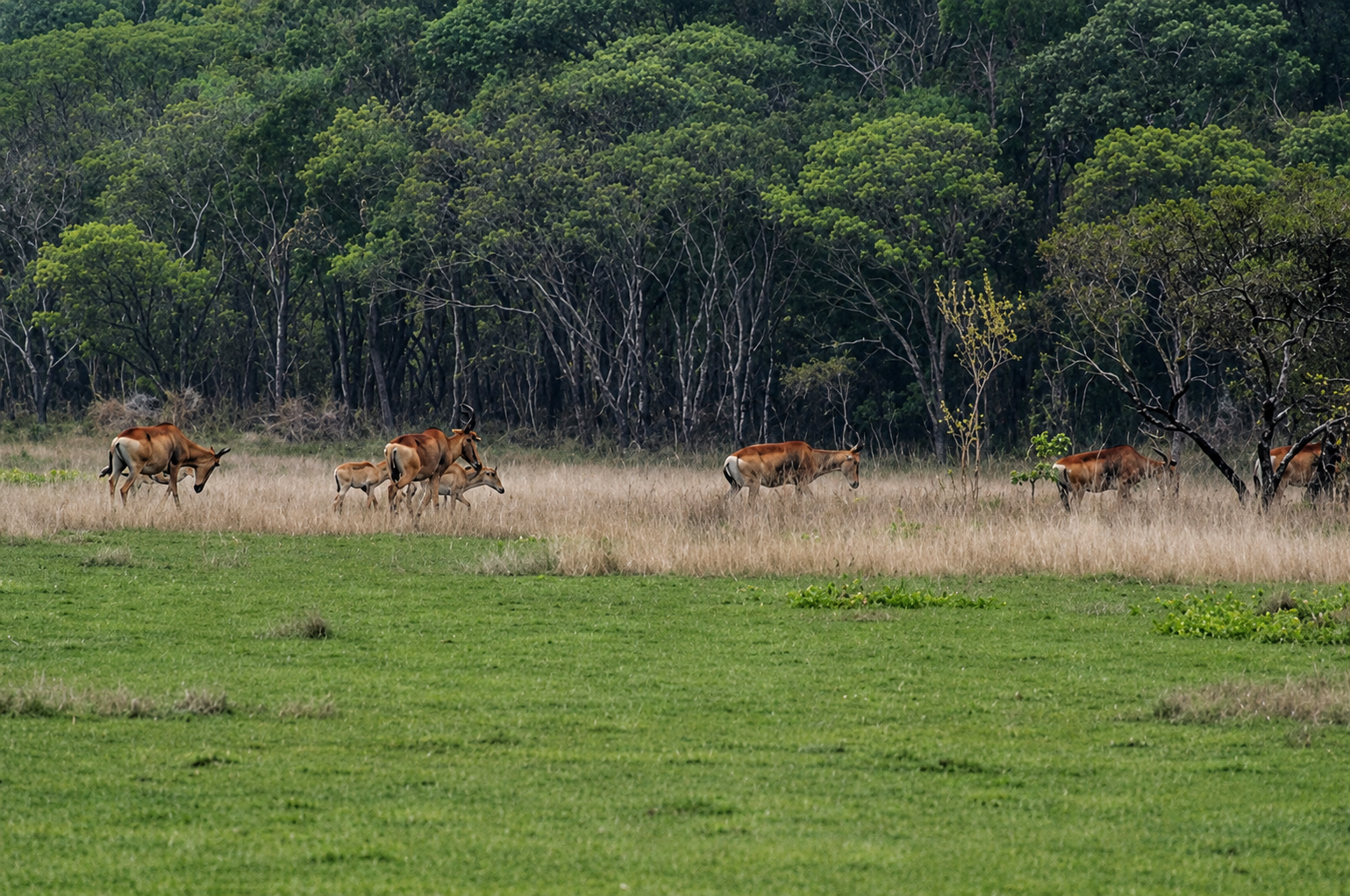
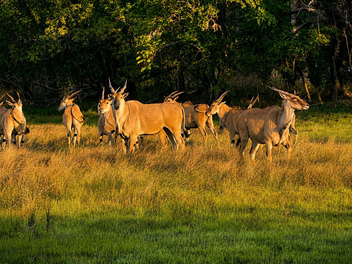
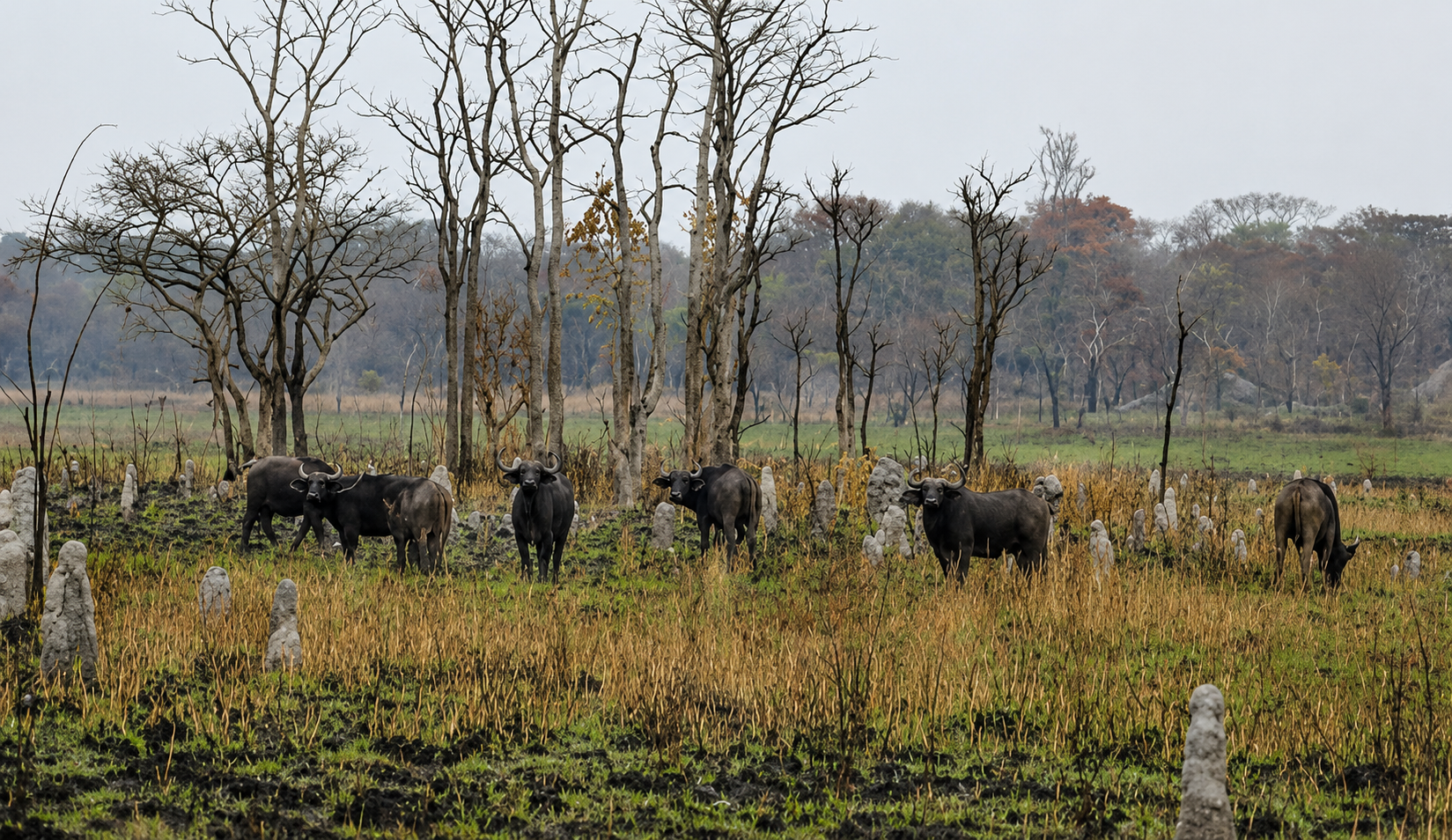
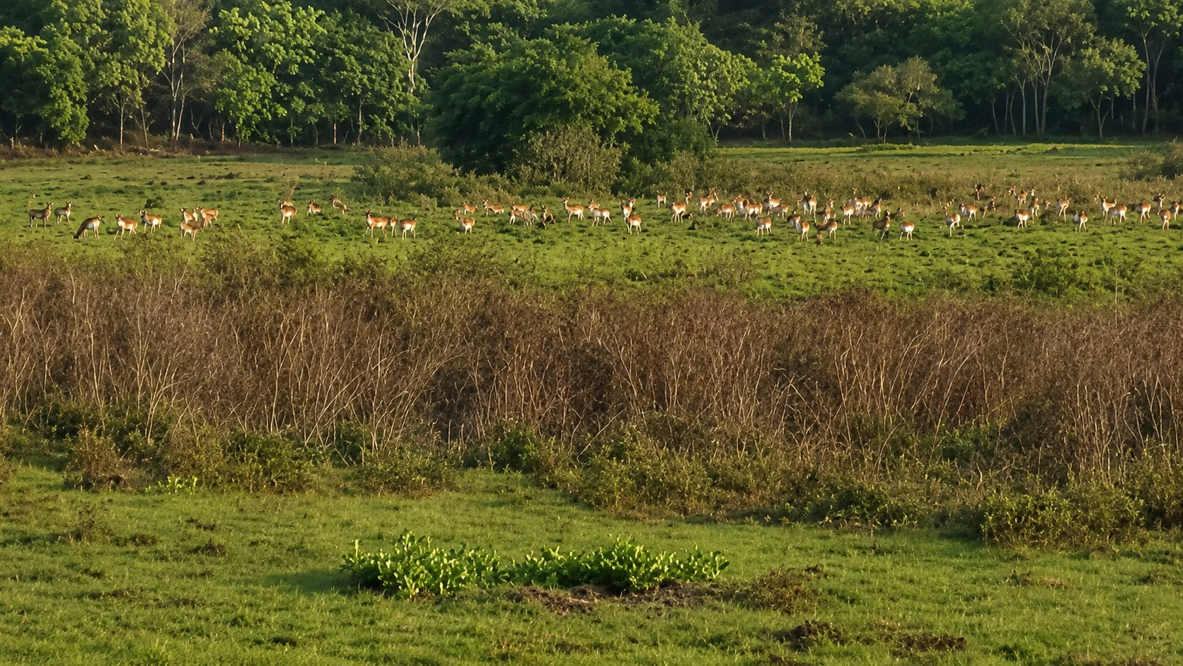
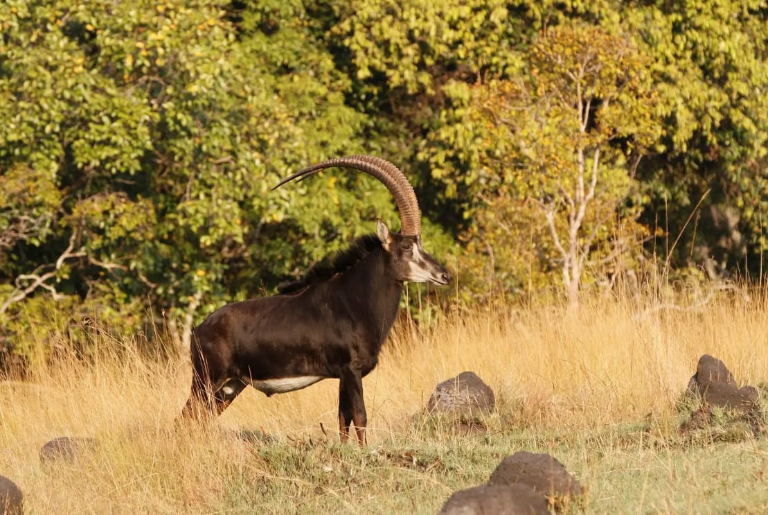
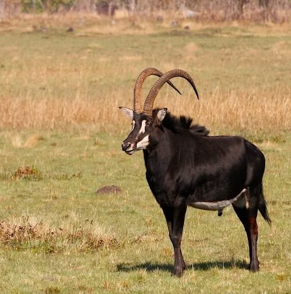
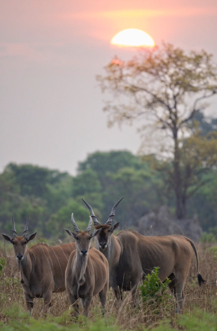
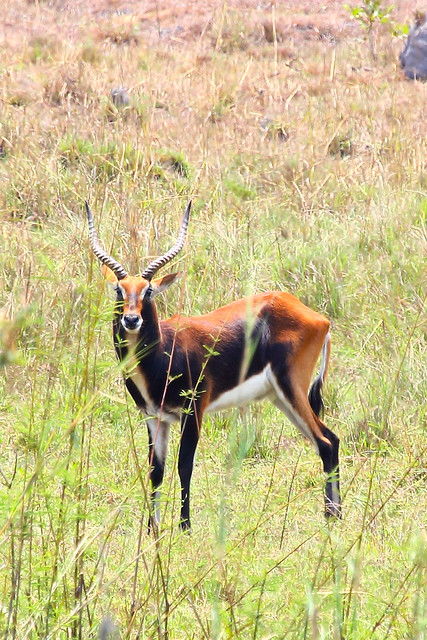
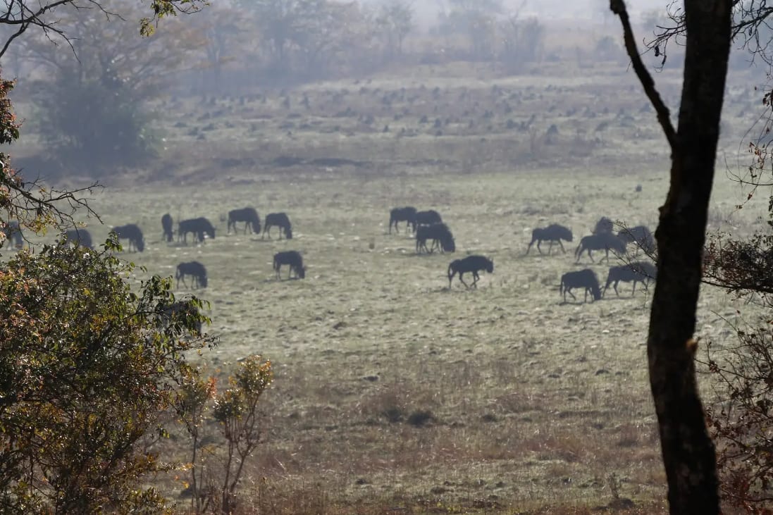
Explore the conservancy by vehicle and on foot, with guides who know the ground intimately. Morning and evening game drives cross the dambo plains where sable, lechwe, buffalo and eland move; walking excursions bring the quieter details of the bush within reach. For photographers, the headwaters light and the open country make this a genuinely rare setting.
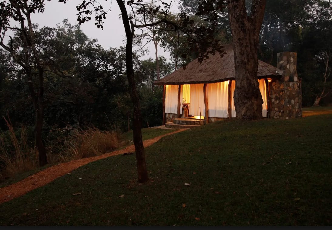
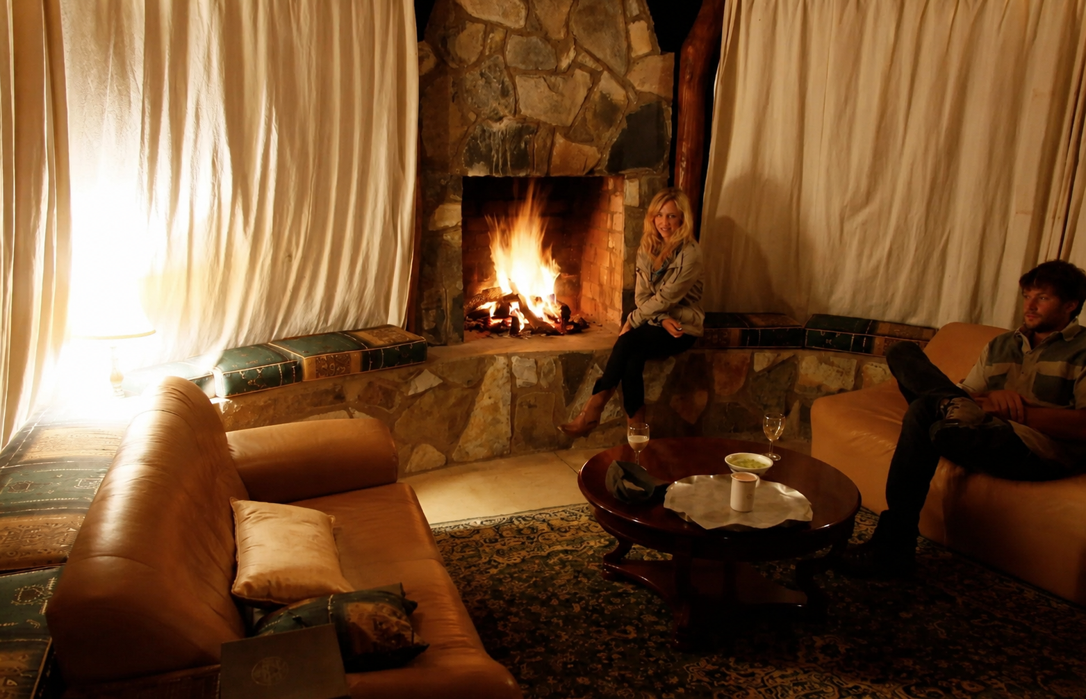
Camp is five luxury tents above the West Lunga River — exclusive use per booking, with open-air dining and a fireside lounge under the stars.

Where the great forests of the Congo Basin push south into the Zambian plateau, Zambezi Nsulu sits within a habitat mosaic that holds rare birds found nowhere else in southern Africa — gallery forest, cryptic dry evergreen thicket, and seasonally flooded dambo, each carrying its own set of specials, from the Vermiculated Fishing-Owl to Grimwood's Longclaw and the near-threatened Bannerman's Sunbird.
We are not a specialist birding camp, but guests who arrive with binoculars find the guides — and the habitat — willing.
Read the Full Birding GuideWhen the heat builds through the dry season's final months — September into November, before the rains break — the West Lunga River comes alive with tigerfish. These are the river's great sporting quarry: fast, silver, savagely-toothed predators that hunt the warm, low-water channels and reward an angler with one of the most explosive takes in African freshwater. A morning on the West Lunga chasing tigers, then back to camp before the worst of the afternoon sun, is one of the conservancy's quiet pleasures.
Take the whole conservancy for your own. With exclusive use of the camp, a family can simply come and be here — to watch the wildlife move across the dambo at first light, to spend long days on the river, to take in the views and the open landscape with no schedule but their own. It is a chance to slow down and experience what it means to stand in the country that feeds the great Zambezi, one of the most important river systems in Africa.
To fund its anti-poaching, wildlife, and community programs, the conservancy also offers fair chase, ethical hunting experiences based on a strictly limited, regulated quota — conducted under the oversight of Zambia's Department of National Parks and Wildlife. All proceeds are reinvested directly into the conservancy's conservation and community work, and all meat either goes to the local communities or is used to support the lion program. Available on enquiry.
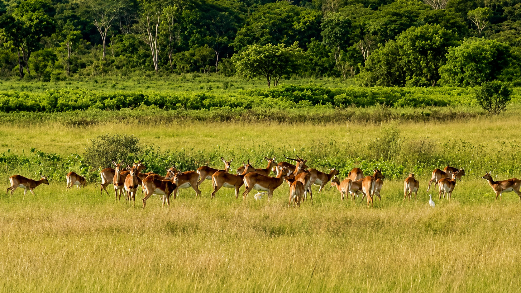
Protecting a headwaters landscape at the source of one of Africa's great rivers.

Zambezi Nsulu Conservancy was established to protect and restore a headwaters landscape. The conservancy is funded through a combination of visitor stays in the exclusive-use camp and a strictly limited, regulated quota — and all proceeds are reinvested into the conservancy's operations, directly funding anti-poaching and wildlife programs, and community agreements that give the people who live alongside this landscape a reason to protect and conserve it.
All wildlife management is conservatively planned by the conservancy in conjunction with applicable Zambian wildlife regulations and annual game counts. The conservancy operates under licences issued by the Zambian Department of National Parks and Wildlife (DNPW).
It is a model with a proven track record. Across Namibia, Zimbabwe, South Africa, and Tanzania, privately managed conservancies have consistently delivered wildlife recovery, habitat protection, and lasting community benefit in areas where alternative land uses could not. The results speak for themselves.

Four lions introduced as juveniles under DNPW oversight — with the goal of eventual contribution to national park repopulation.
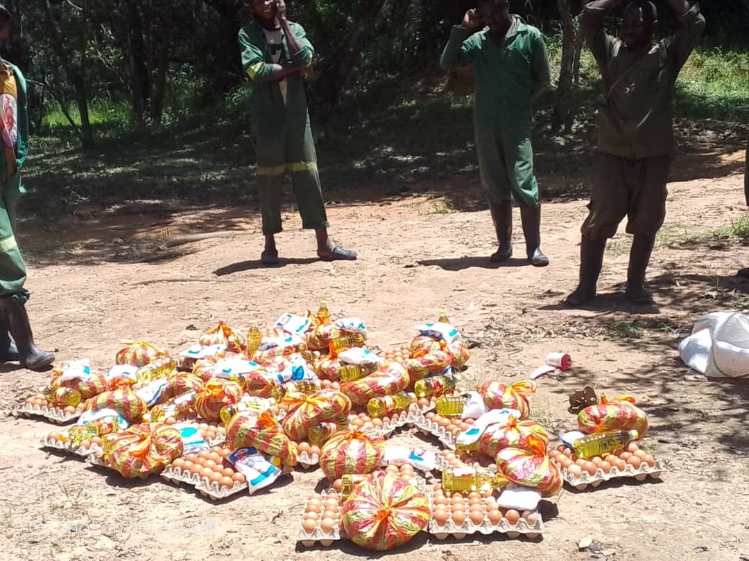
Local scout salaries and housing, patrol transport, remote food drops, informant networks, professional gear, and advanced bush training. 75 kilometres of managed conservancy boundary. The scouts who protect this landscape are from the communities that surround it.
Species reintroduction funded by the conservancy. A long-term predator restoration initiative — four lions under DNPW oversight, with the goal of eventual contribution to national park repopulation. Annual game counts setting sustainable limits.
Community conservation partnerships providing employment, revenue sharing, and land protection incentives. Our clean water borehole program — dual-purpose community drinking water and dry-season wildlife water sources. Local hiring preference throughout.
Cryptosepalum (mukwe) dry evergreen forests — an internationally recognised carbon sink ecoregion of exceptional ecological rarity. Headwaters watershed conservation. Natural resource management including game cameras, aerial surveys, invasive species control, fire management, and sustainable farming education.

Zambezi Nsulu Conservancy is led by passionate conservationists with a deep and personal love for Zambia. Their commitment is genuine: building stronger communities, protecting beautiful landscapes, and improving wildlife populations across the country.
That conviction shapes every decision made here — from how the land is managed and protected to how its revenues are reinvested in the people and wildlife that depend on it.
Support the Work
Anyone interested in learning more or getting involved, don't hesitate to reach out. We'll be happy to put you in touch with our conservation team for discussion.
info@nkwaji.com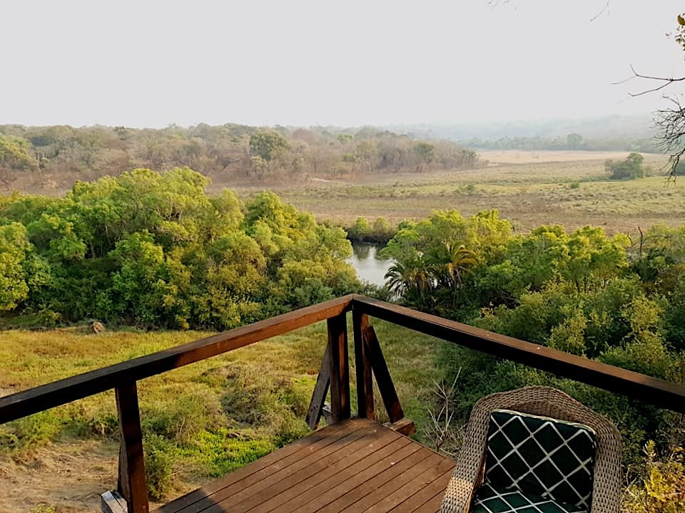
You have discovered an extraordinary secret that few know exists.
Zambezi Nsulu Conservancy is a privately managed wildlife conservancy in Northwestern Province, Zambia — established to protect and restore a headwaters landscape at the source of the Zambezi. The conservancy is anchored by a privately held titled core — including the Kamachila tract — and is being built in close partnership with the chiefs and communities of the surrounding lands. Day-to-day operations are managed by Nkwaji Safaris, and conservation programming is driven by a team of committed conservationists.
An oversight committee was established to involve community leaders in strategic decisions affecting the broader conservancy and adjacent communities — ensuring that the people who live alongside this landscape have a voice in how it is managed.
Five luxury tents above the West Lunga River carry that timeless bush-safari feel — canvas and candlelight, the sounds of the wild close at hand. A comfortable open-air dining area and a separate lounge built around the fireplace give the camp its heart. Taken on an exclusive-use basis, it's the perfect place for families and friends to share the landscape together.
Nkwaji Safaris is the management company engaged by the conservancy to run the day-to-day operations of Zambezi Nsulu Conservancy. Its responsibilities encompass the full scope of conservancy management — wildlife monitoring and annual game counts, anti-poaching oversight, staff management, camp operations, and community engagement.
The Nkwaji Safaris team knows this ground in detail — its wetland systems, cryptosepalum thickets, dambos, and miombo woodland — and brings that knowledge to every aspect of conservancy management.
Nkwaji Safaris is managed by Chris Fisher, whose family has a long connection to this landscape. Chris brings deep operational knowledge of the conservancy — its terrain, its wildlife, and its communities. Nkwaji Safaris employs local staff from Northwestern Province, giving the conservancy's workforce a direct stake in the landscape they manage.
One of Africa's great rivers — beginning near Kalene Hill in Northwestern Zambia and flowing 2,574 kilometres to the Indian Ocean.
The Zambezi River begins in Northwestern Zambia near Kalene Hill — seeping upward through ancient Kalahari sands on a high plateau. This diffuse headwaters system, where water gathers through sandy soils into channels and drainages, lies just kilometres from Zambezi Nsulu Conservancy. The West Lunga flows south through the Kabompo into the upper Zambezi.
Victoria Falls — Mosi-oa-Tunya, "The Smoke that Thunders" — is one of the world's largest waterfalls. At peak flow, over 500 million litres of water per minute cascade over a 1.7-kilometre wide basalt cliff.
Zambia · Angola · Namibia · Botswana · Zimbabwe · Mozambique — plus portions of the watershed in Tanzania and Malawi. The Zambezi basin supports agriculture, hydroelectric power, fisheries, and wildlife across eight nations.
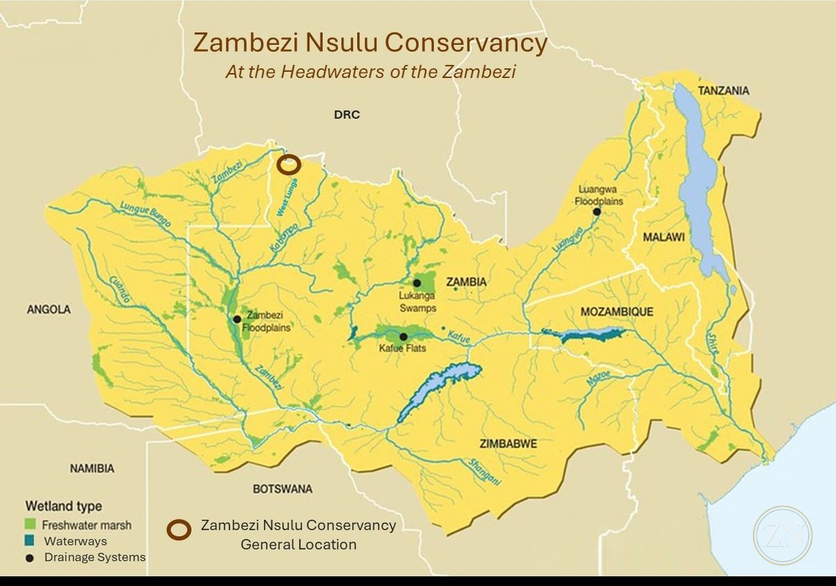
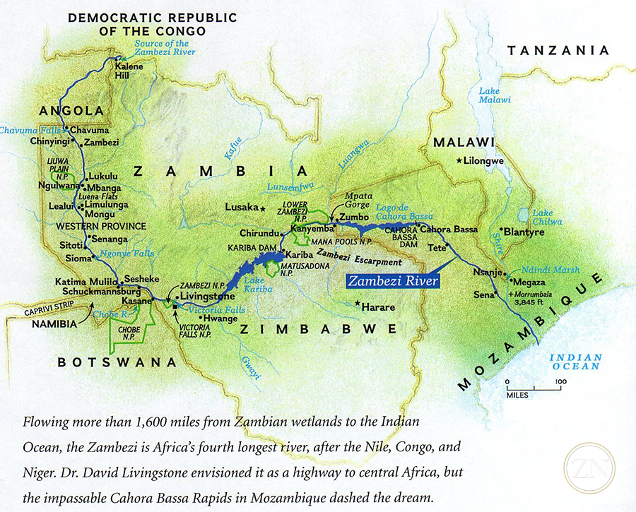
From these diffuse headwaters in Northwestern Zambia the waters gather and run south — the West Lunga into the Kabompo, the Kabompo into the upper Zambezi — on a 2,574-kilometre course to the Indian Ocean. The map below places Zambezi Nsulu within that wider system: the protected ground sits at the very top of the basin, where the river begins.
Protecting the headwaters of the Zambezi means protecting a watershed that eight countries and millions of people depend on.
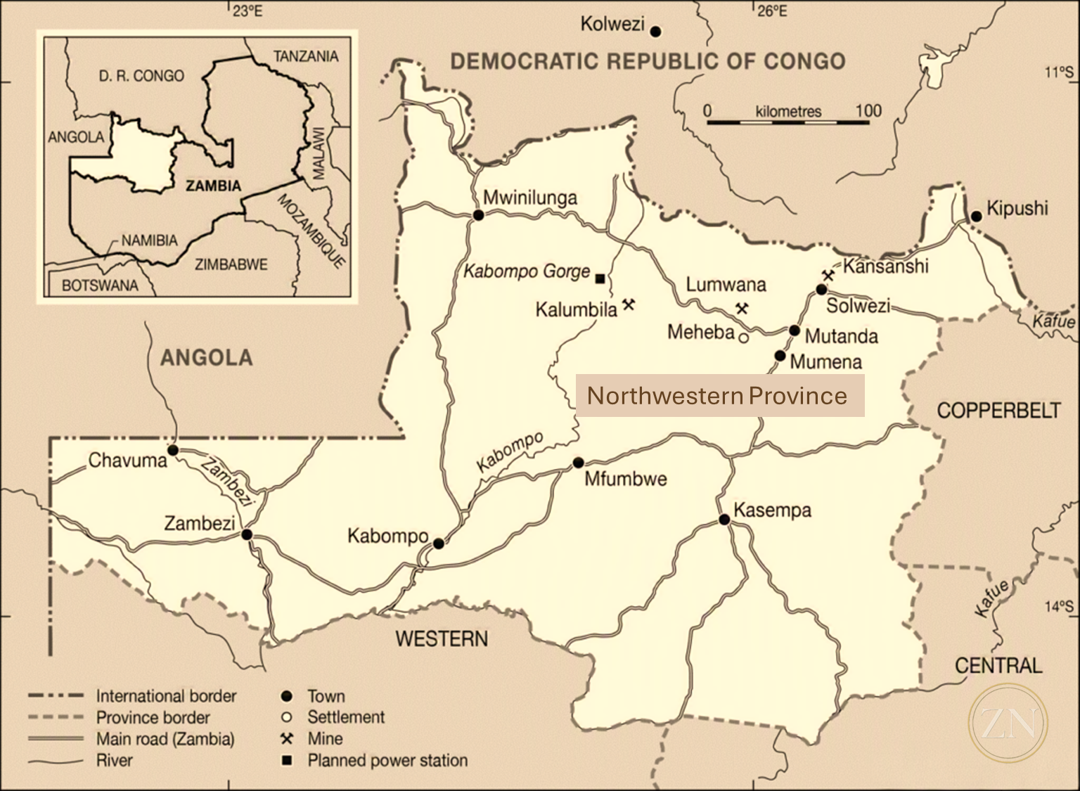
Northwestern Province is one of Zambia's most ecologically intact regions — a vast, low-density landscape of miombo woodland, river systems, and rare forest types forming a critical ecological bridge between the Congo Basin and the Zambezi watershed.
The province borders Angola to the west and the Democratic Republic of Congo to the north. Its remoteness is part of what makes it ecologically significant — undeveloped, largely overlooked, and ecologically intact.
The Lunda people have inhabited this landscape for centuries, establishing chiefdoms and traditional governance structures that remain important today. Partnership with the adjacent Lunda communities is a central pillar of the Zambezi Nsulu operation.
Mwinilunga airstrip — approximately 2 hours by charter from Lusaka. 45-minute drive to camp. Gravel roads, motorable year-round.
The landscape, the wildlife, the conservation work, and the experience of Zambezi Nsulu Conservancy. Click any image to view full screen.
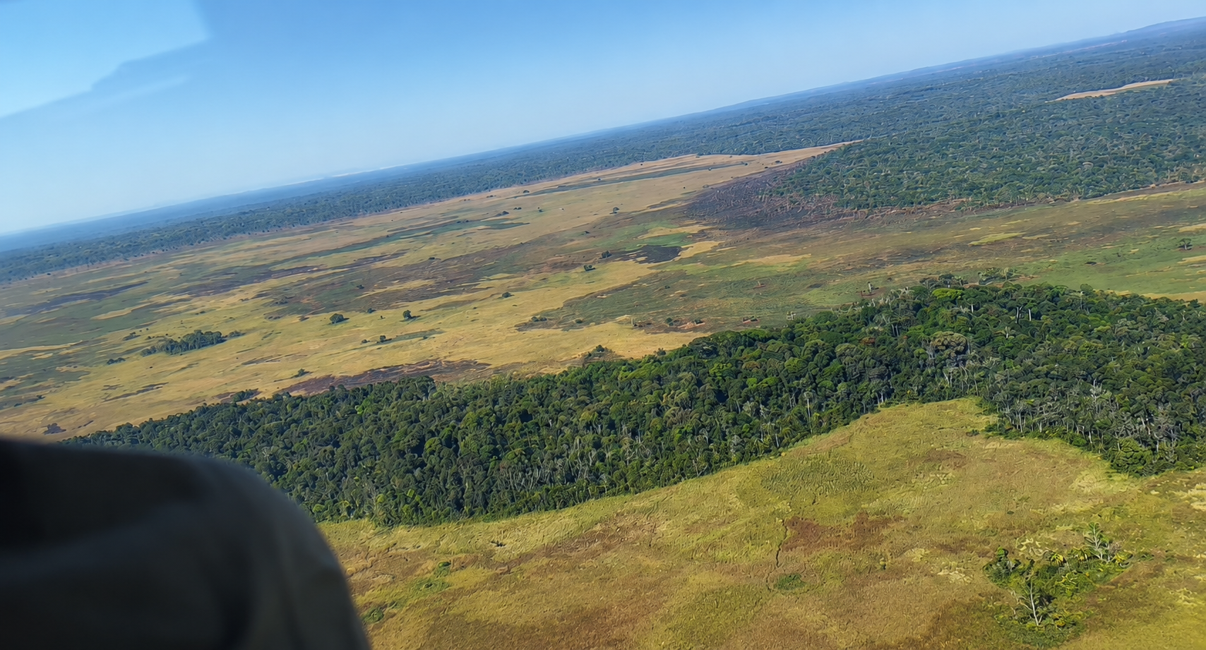
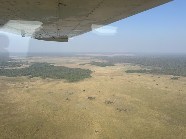
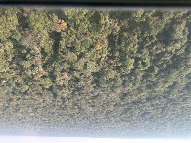

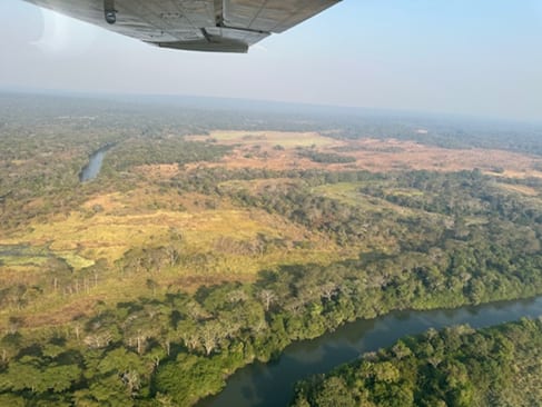
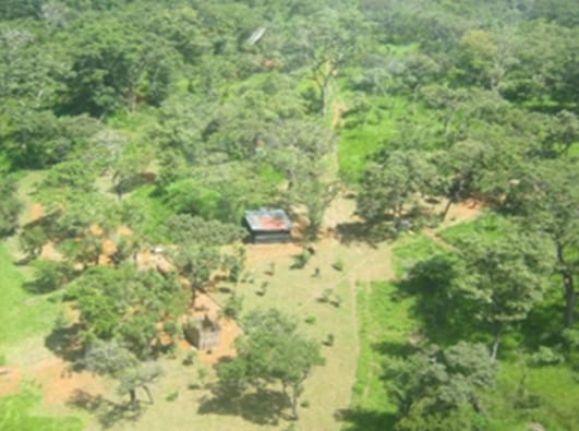

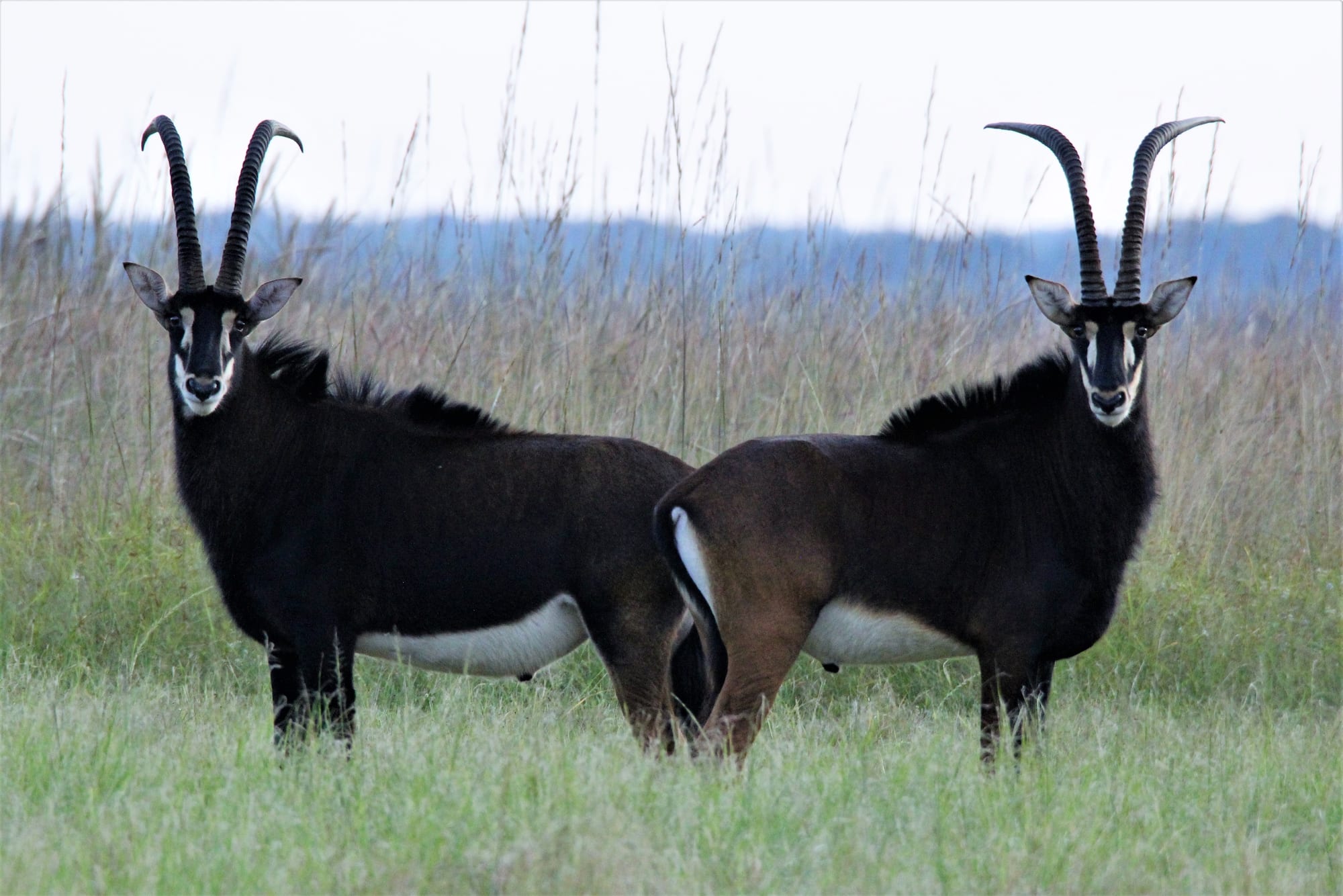

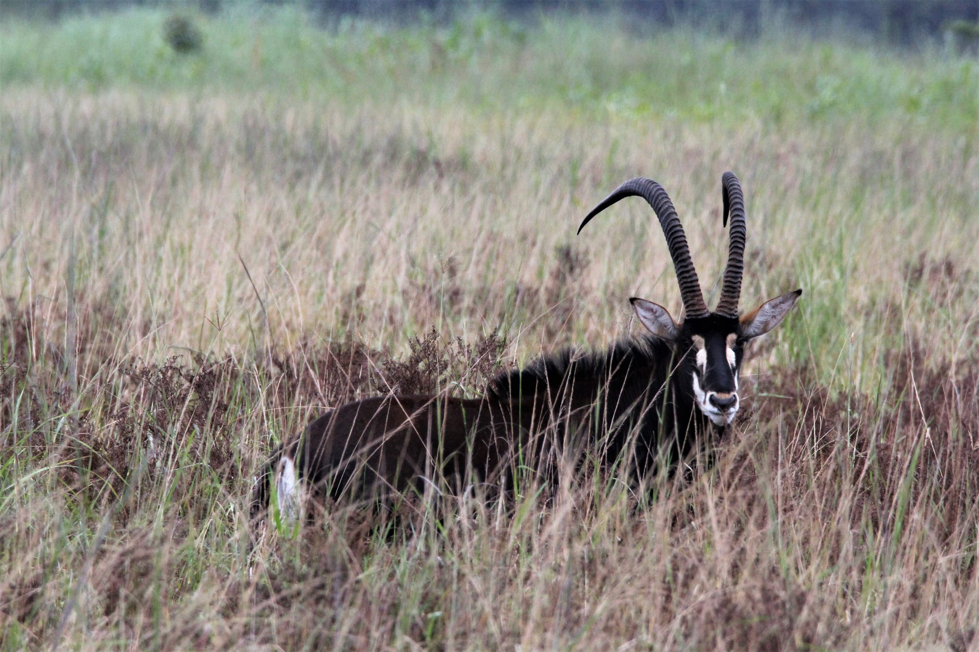

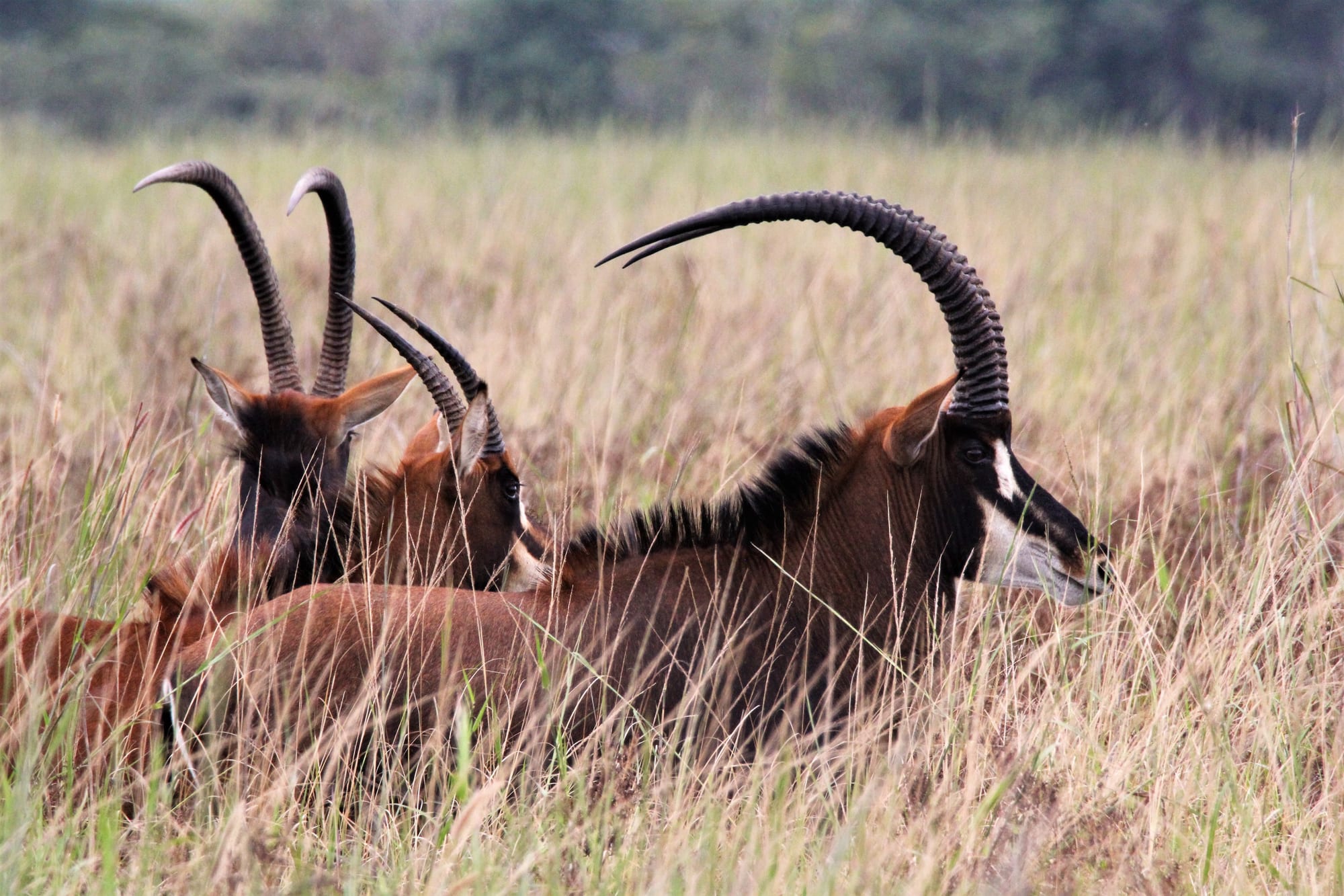

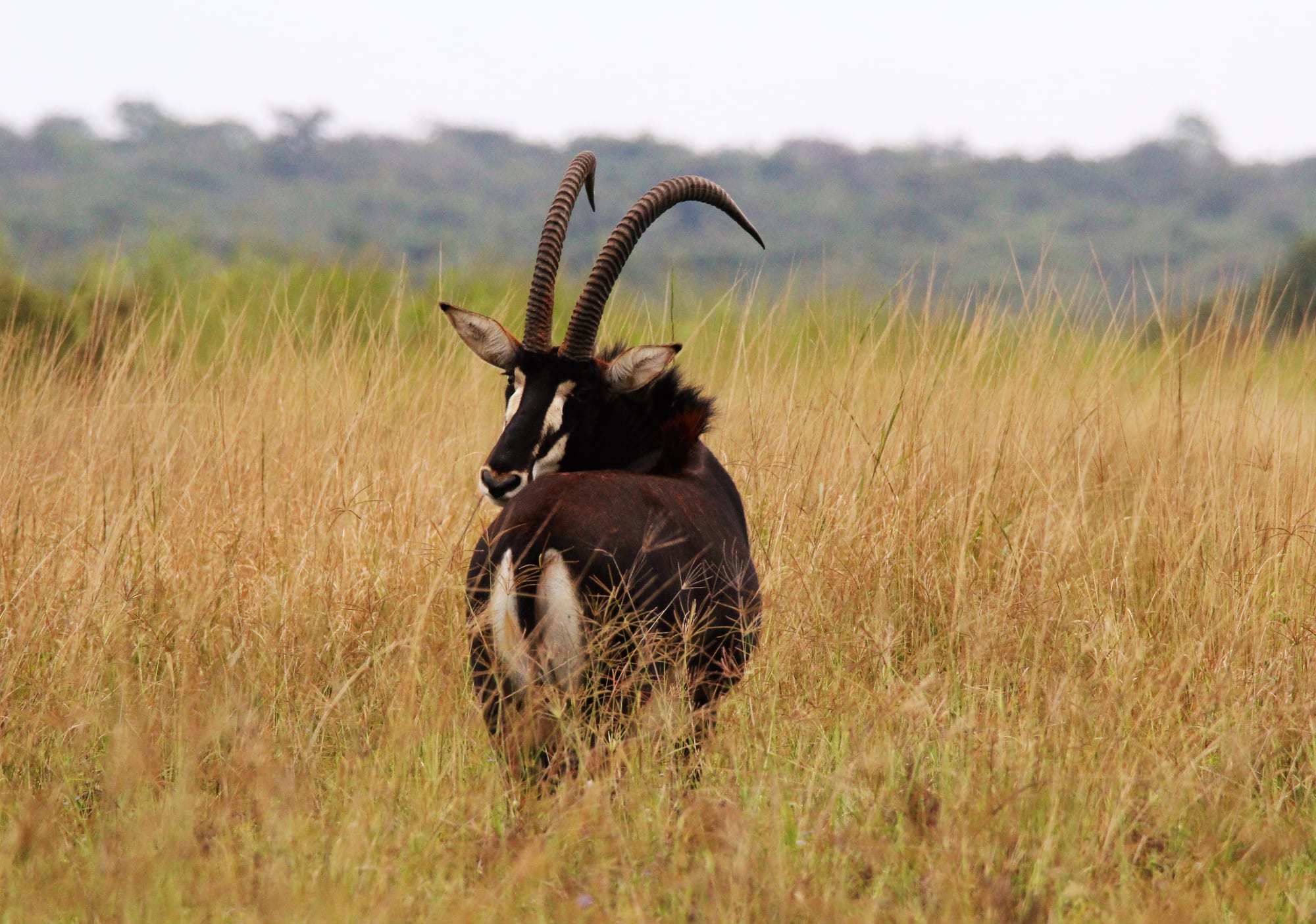
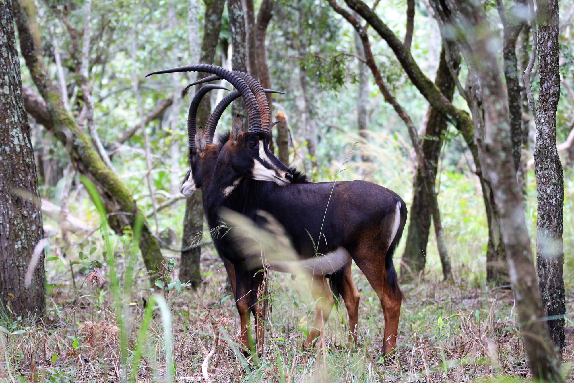

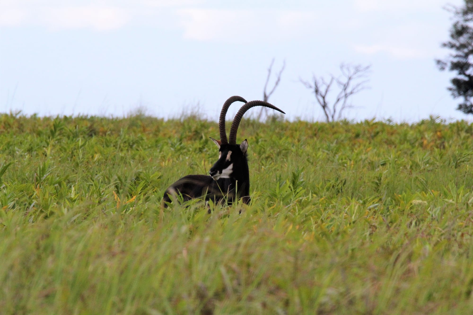
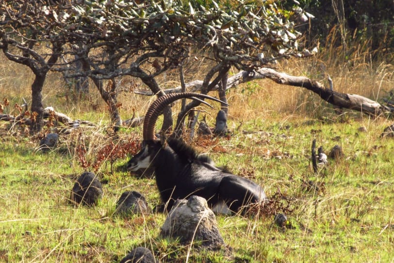
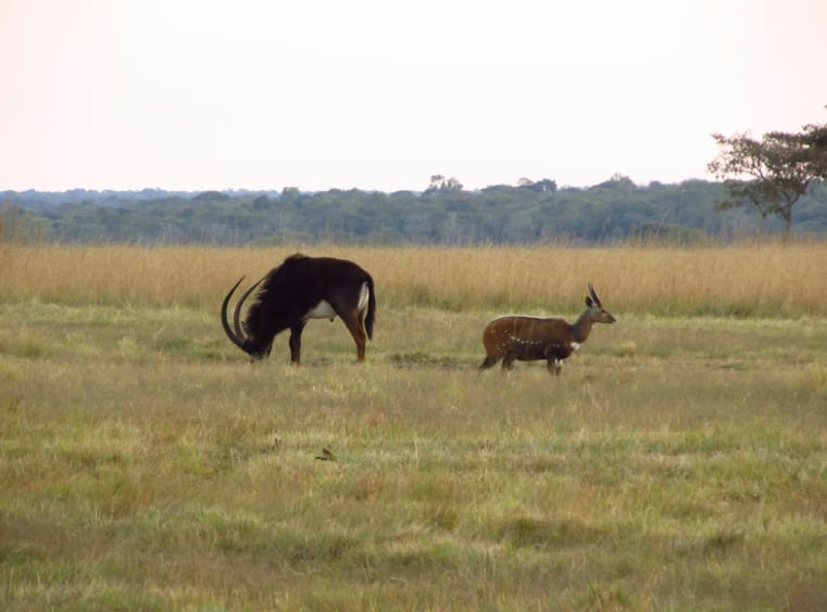
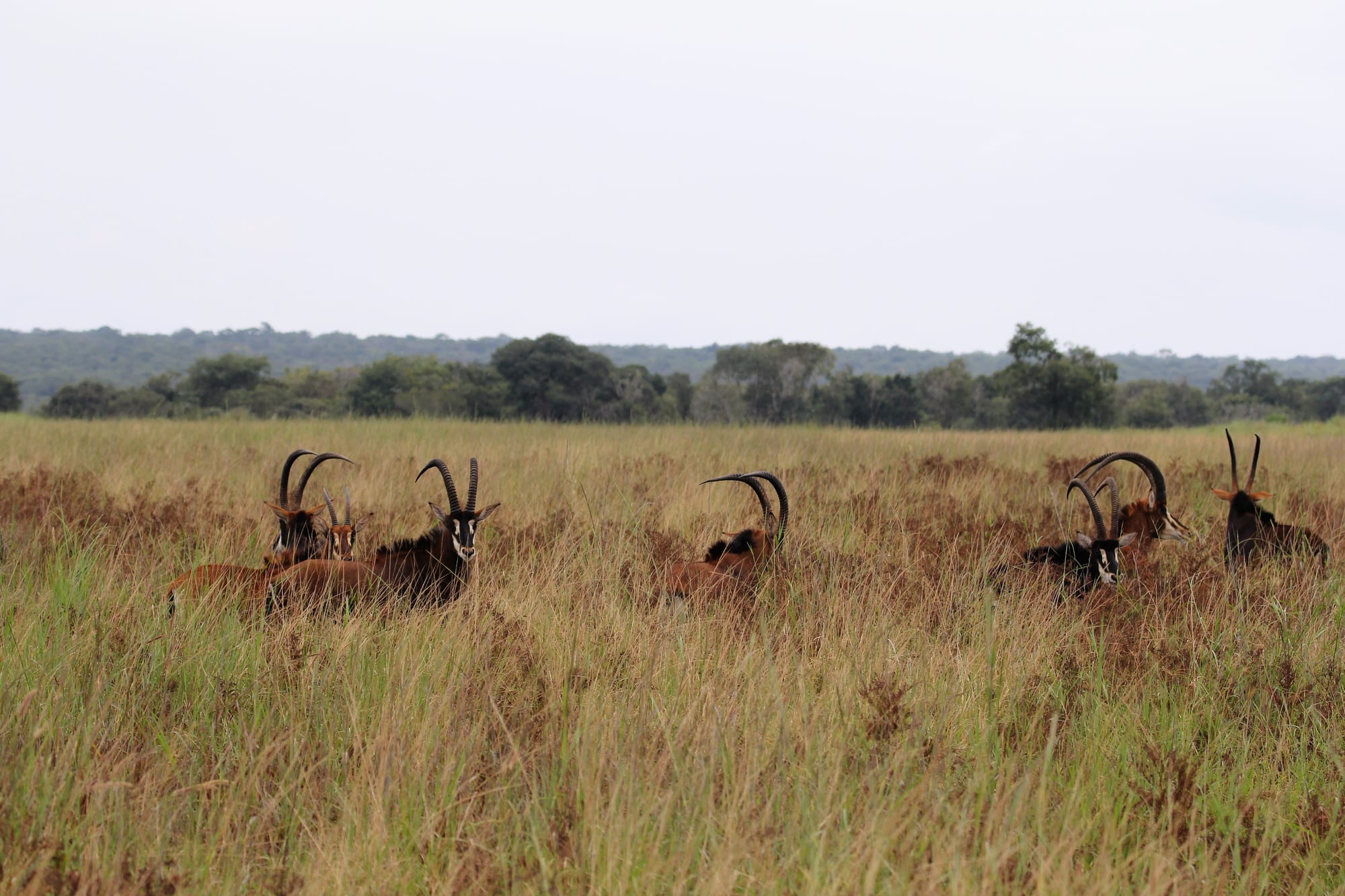
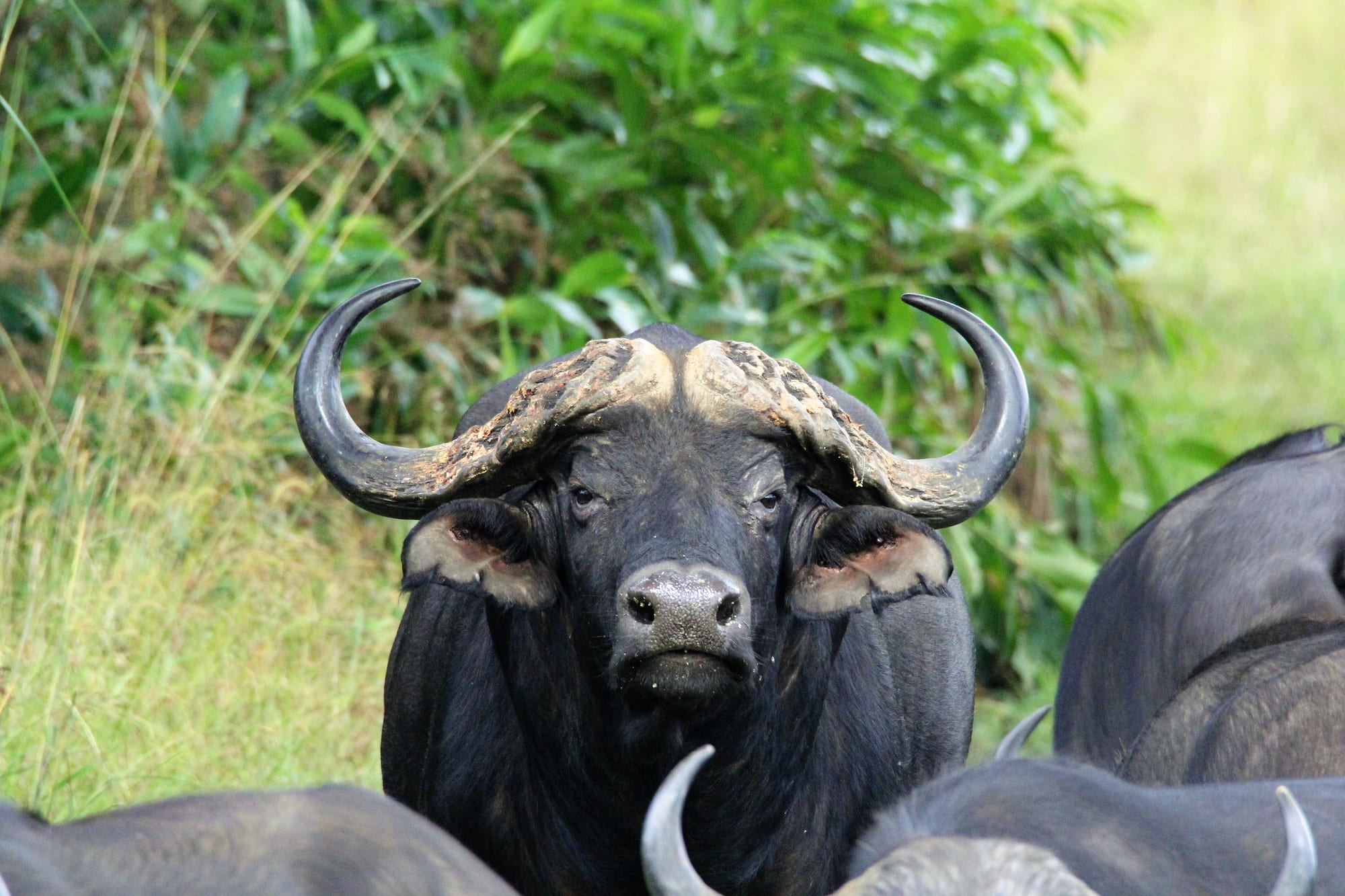
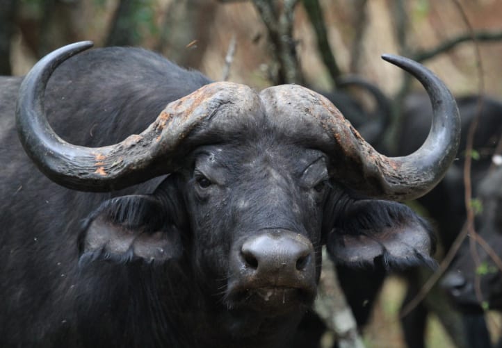
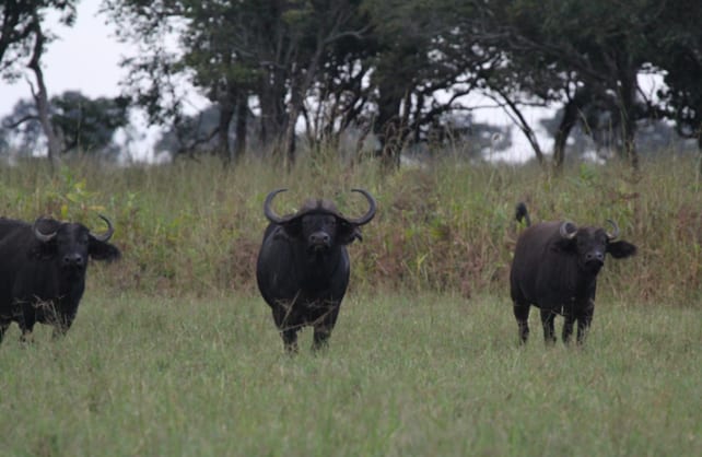
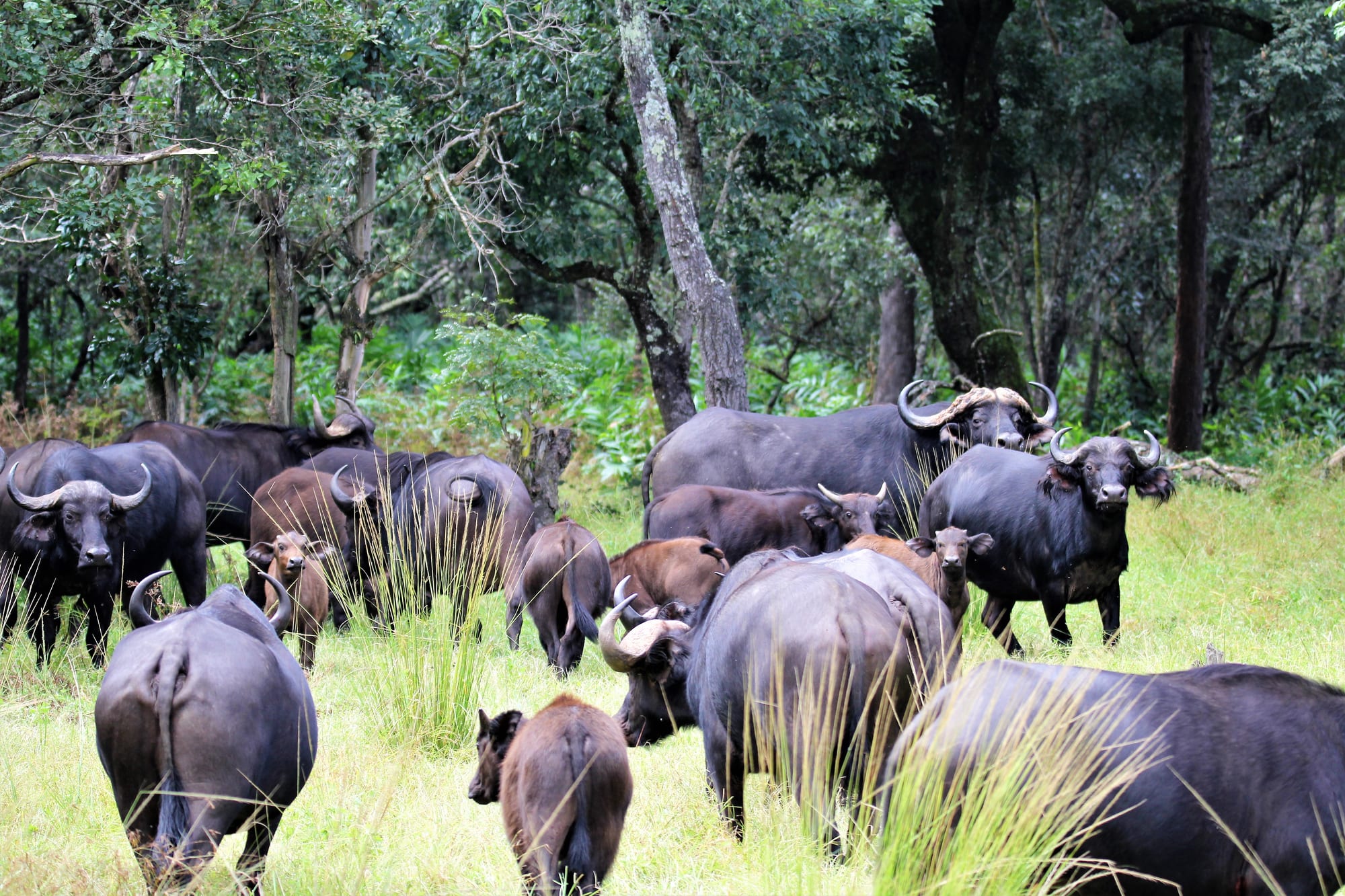
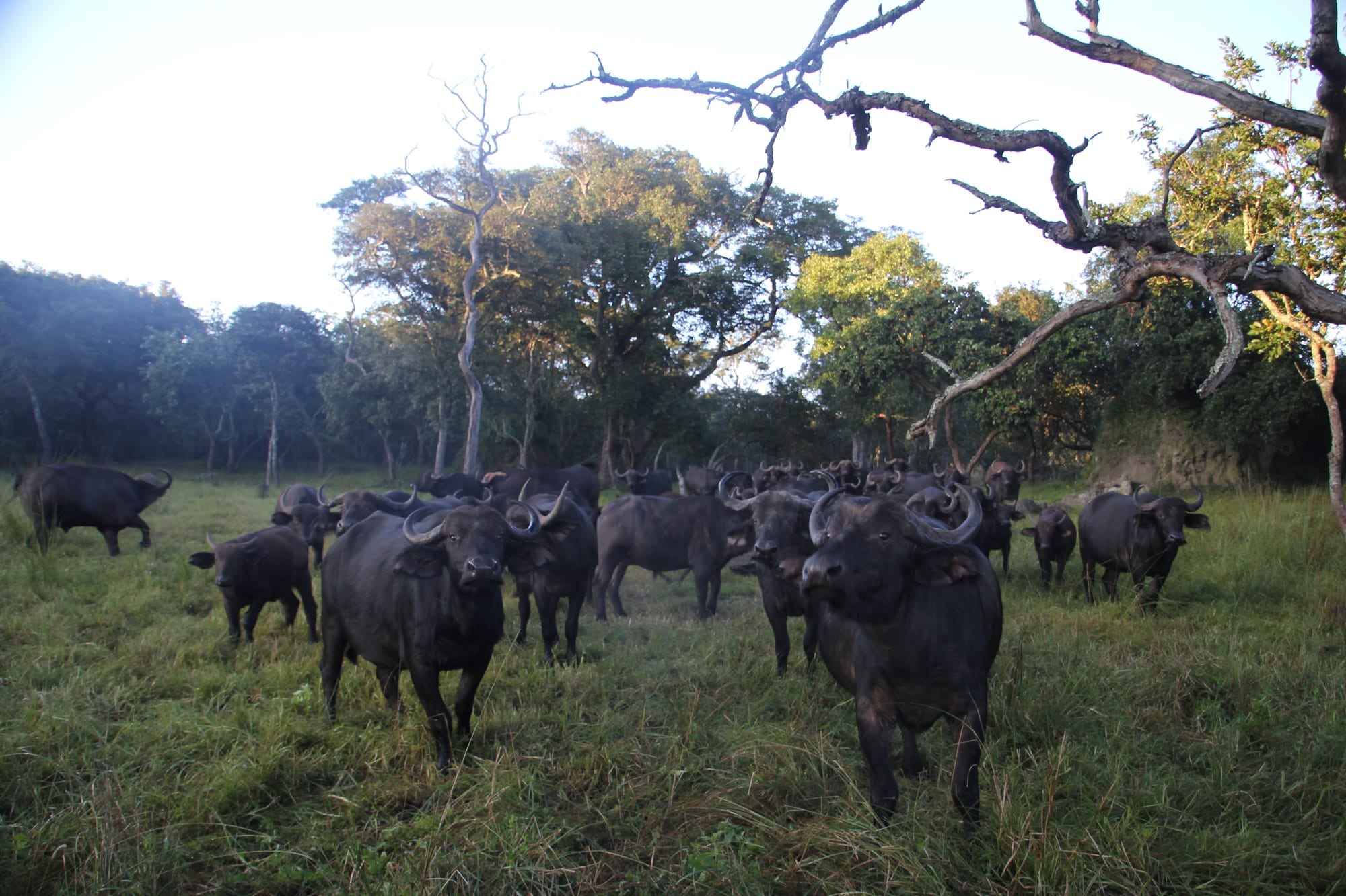
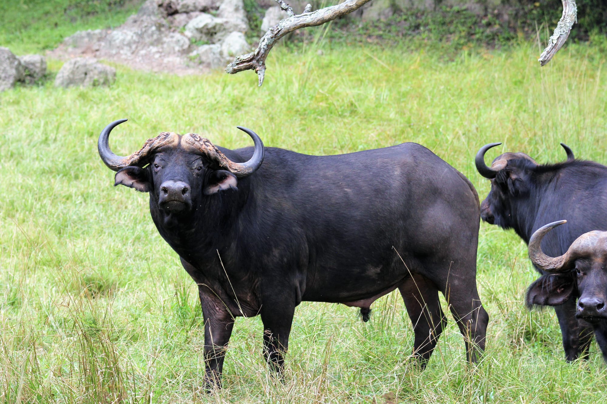
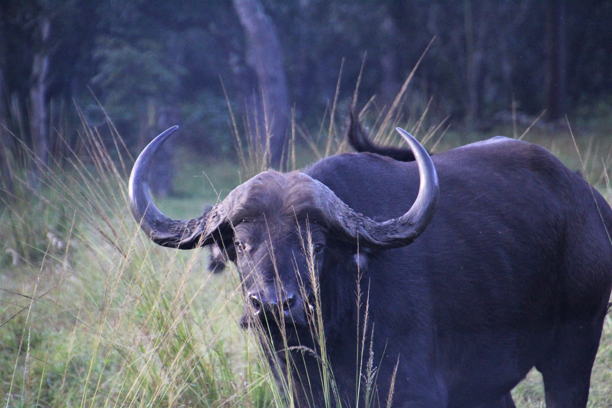
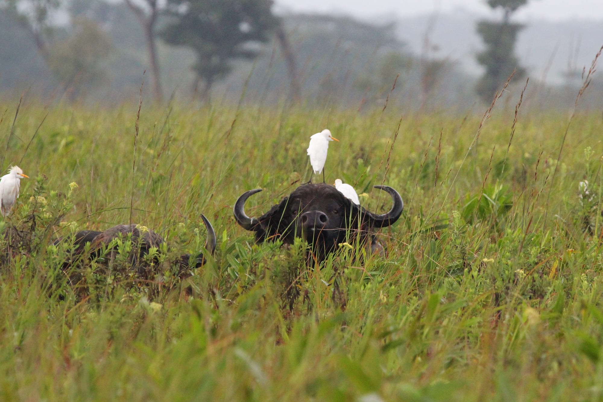
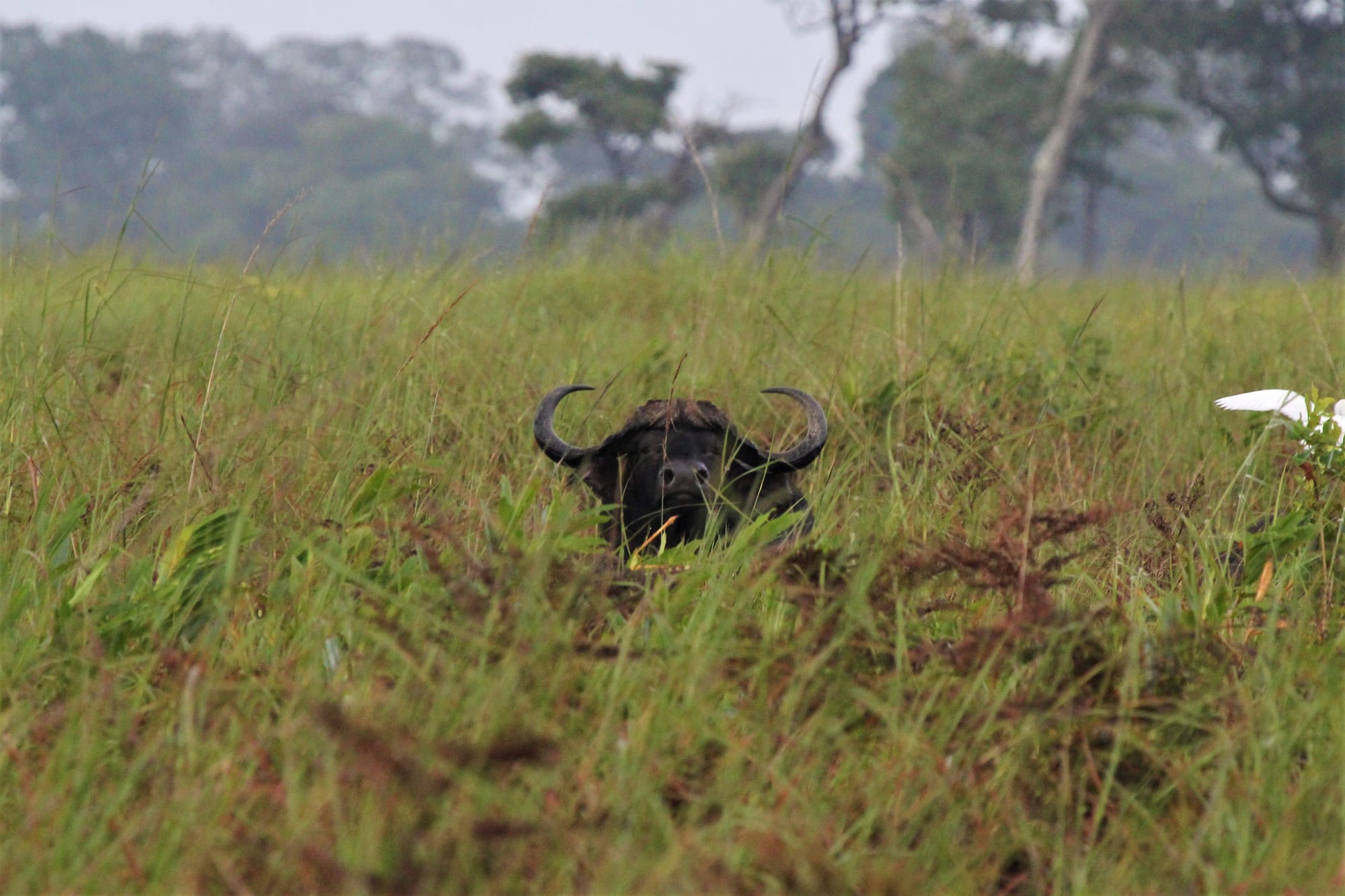
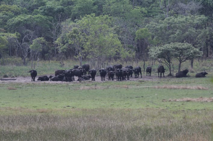


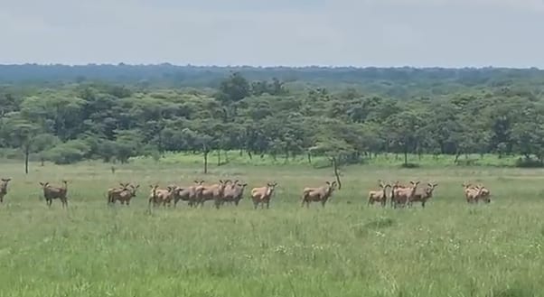
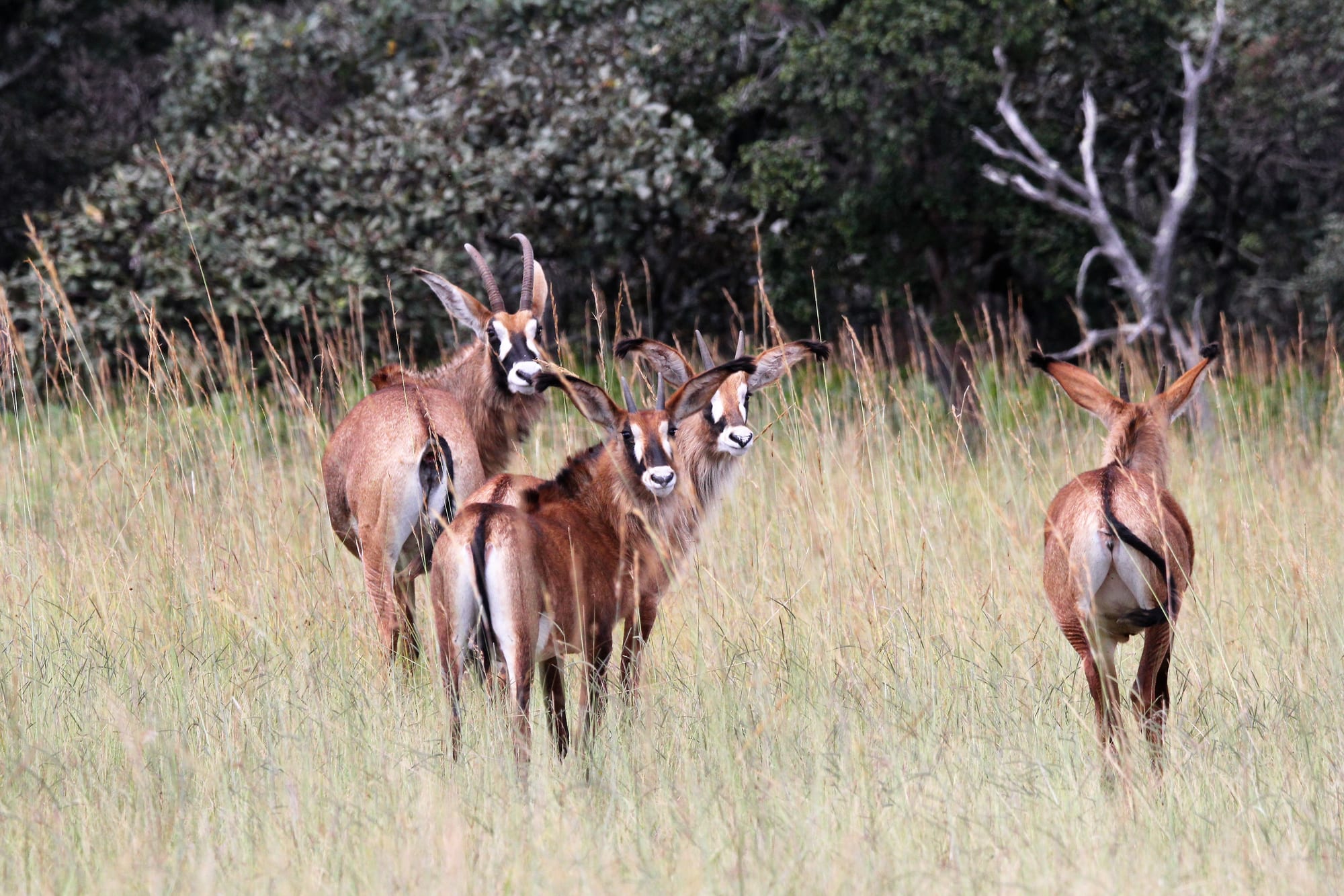
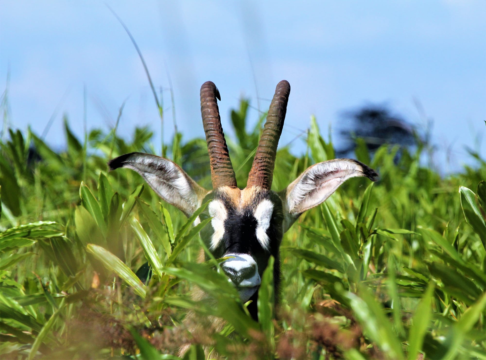

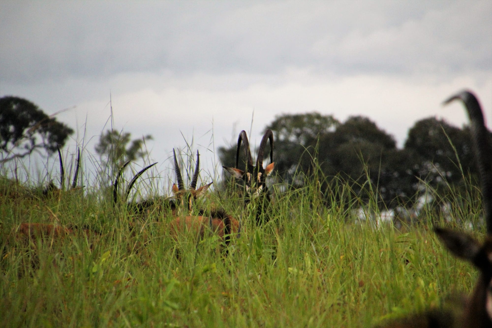

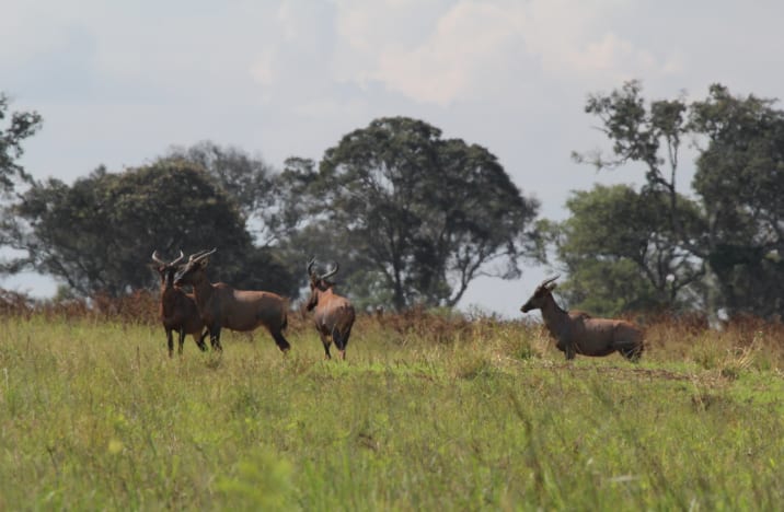
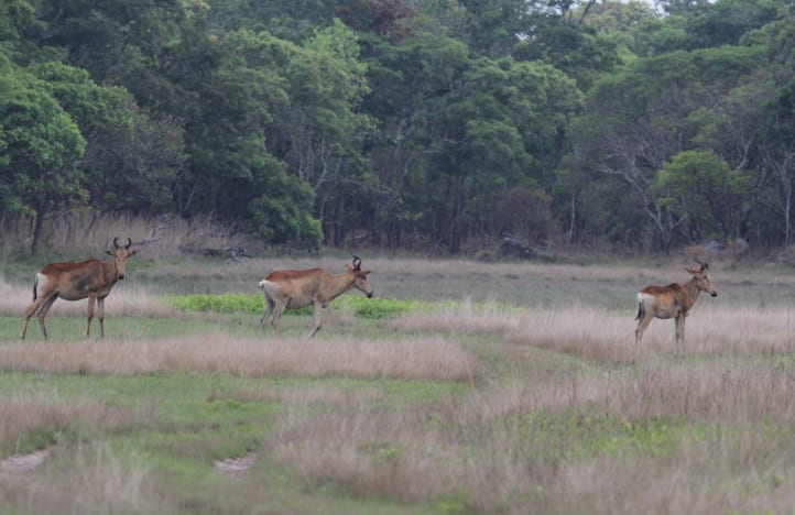
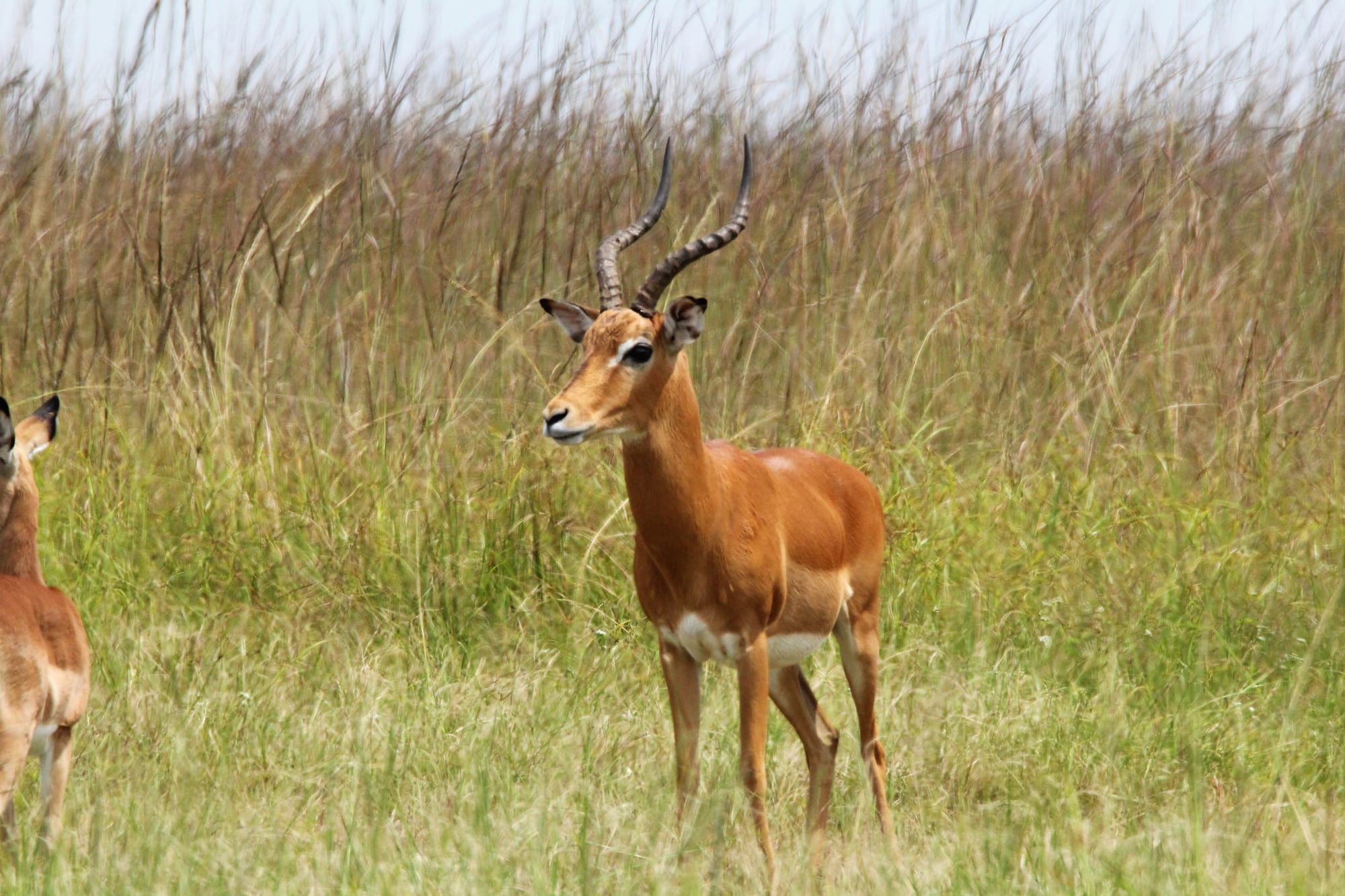
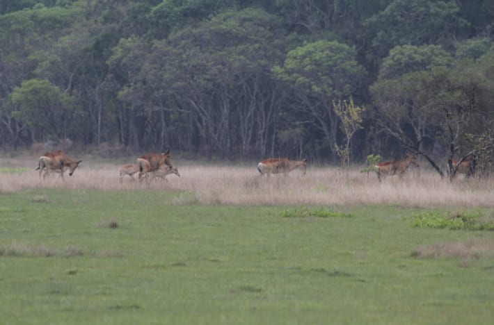


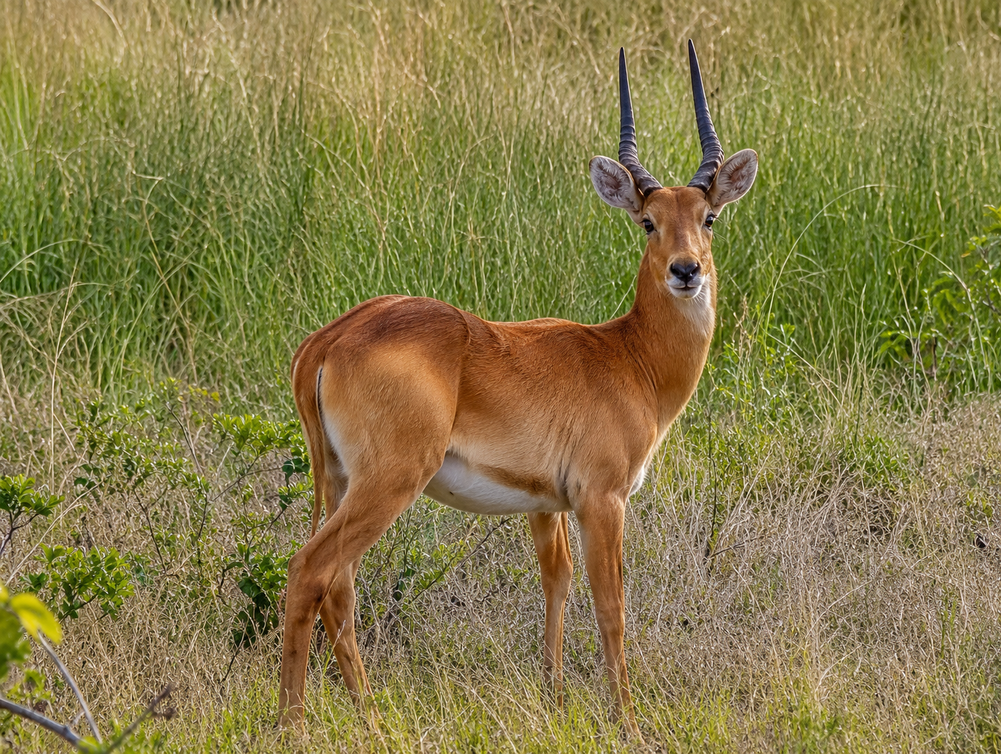
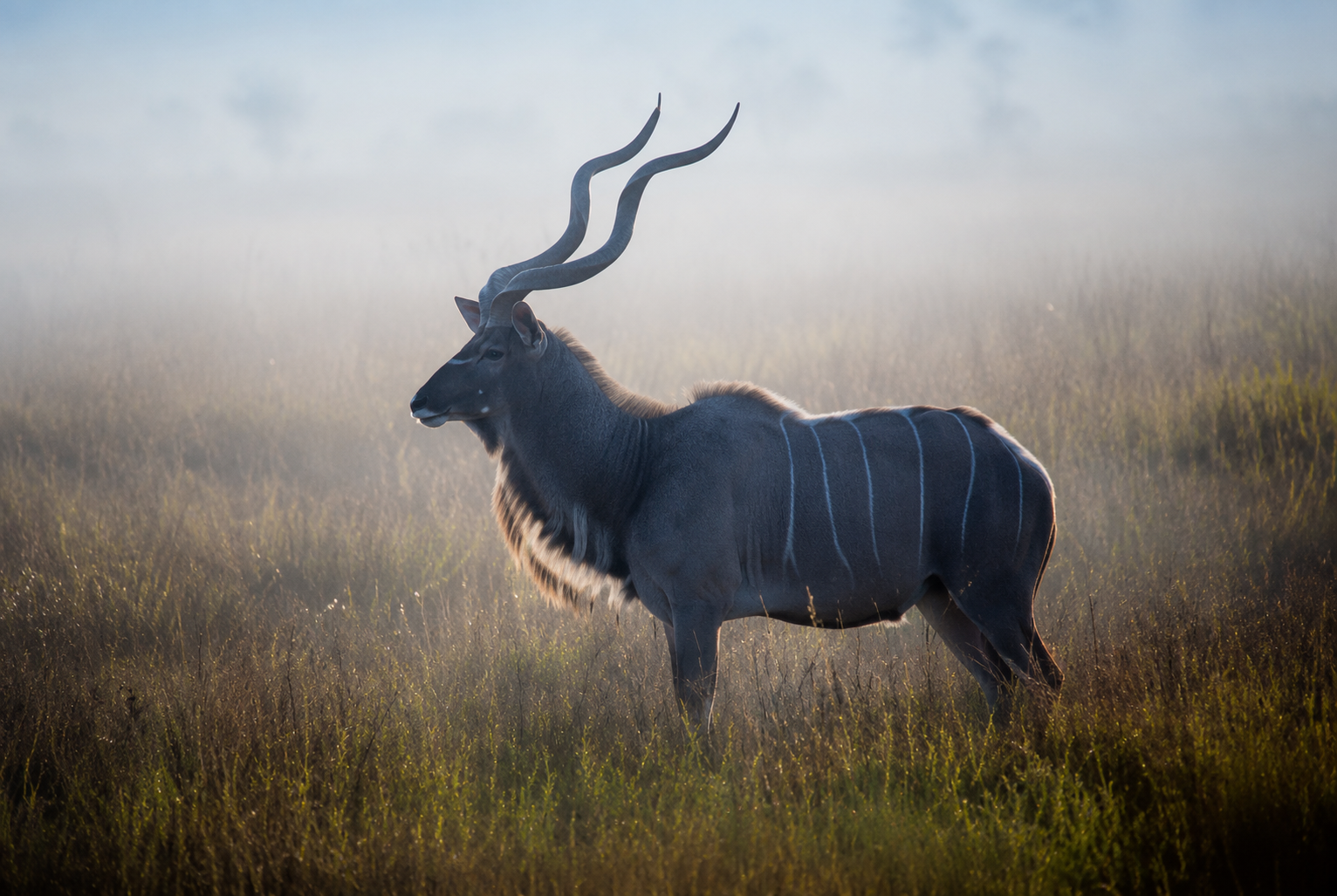

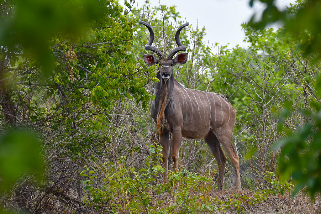
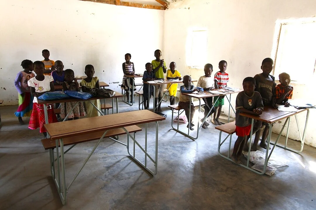
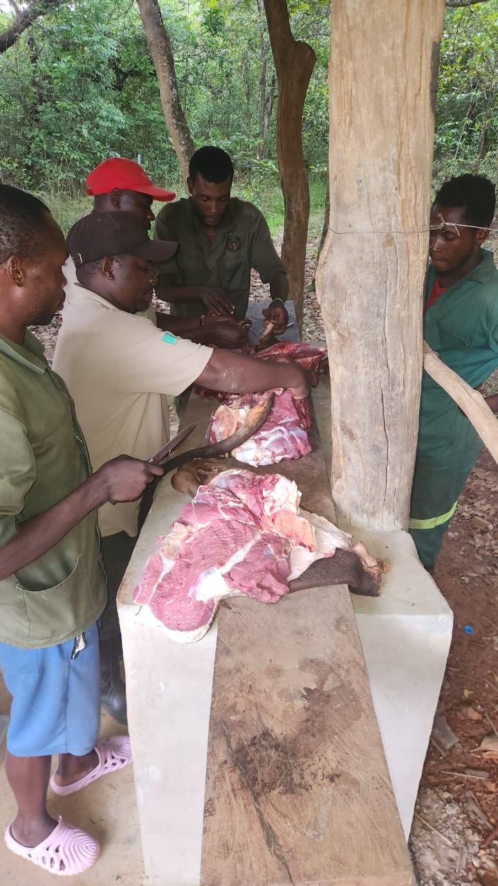
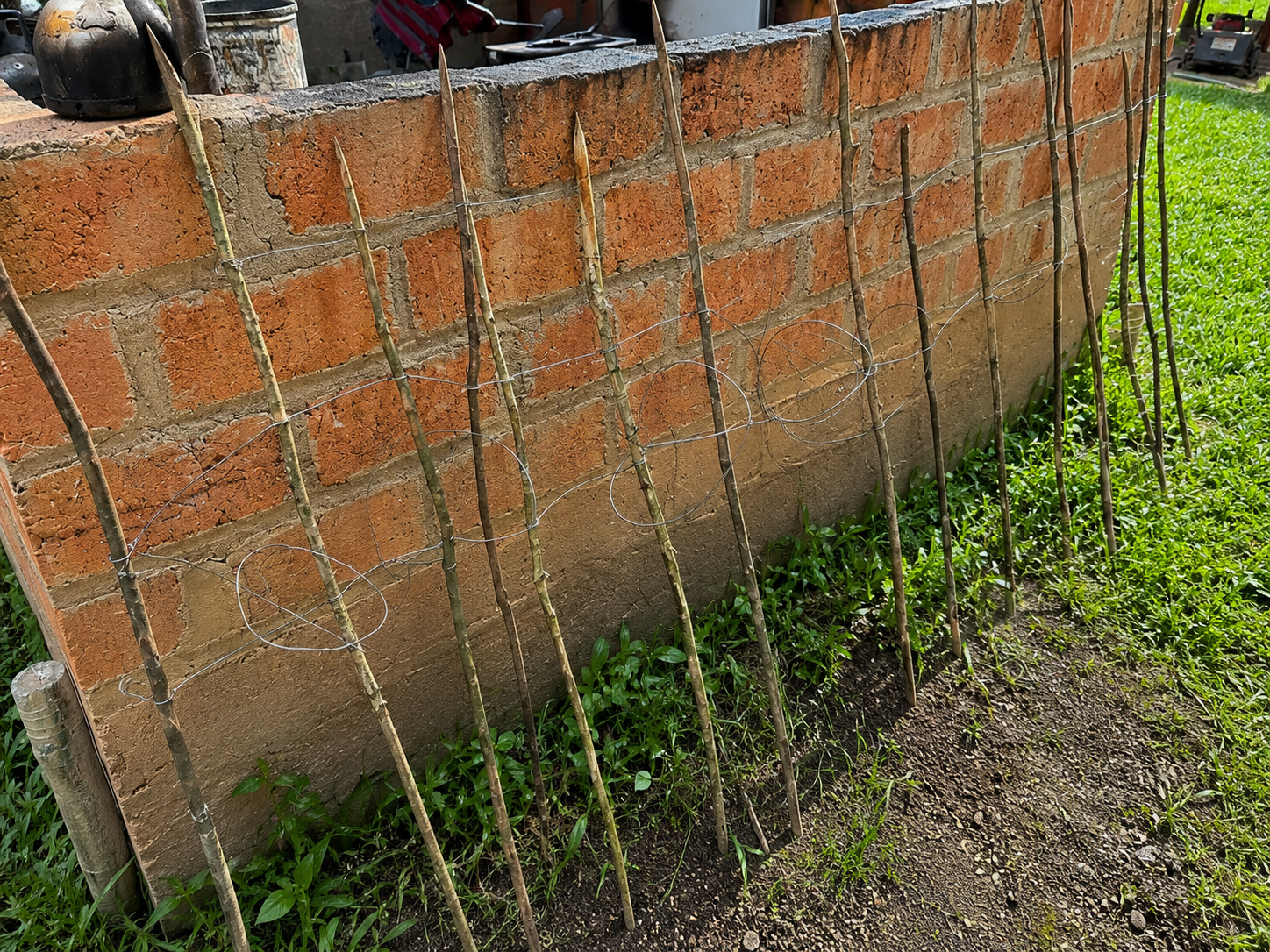
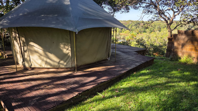


Zambezi Nsulu sits at the very headwaters of the Zambezi — Africa's fourth-longest river — within the upper reaches of the Zambezi Basin. This aerial view places the conservancy in that wider context: the extent of the protected ground, its boundary, and the river systems that carry these headwaters south to join the Zambezi.
North-western Zambia holds a concentration of rare birds found nowhere else in southern Africa. A field guide to the gallery forest, mavunda thicket, and dambo specials of Zambezi Nsulu.
Read the article →Zambezi Nsulu welcomes guests for the 2026 season — game drives across the dambo, world-class birding, tigerfishing on the West Lunga, and exclusive-use family stays. Strictly limited availability, by design.
A functioning ecosystem needs all of its parts. We are in the early stages of working toward the reintroduction of leopard — an apex predator long absent from this landscape — with a DNPW-approved capture framework awaiting final sign-off.
Read the article →The conservancy has acquired the fishing rights along a 7.8-mile stretch of the West Lunga River from local holders — allowing the conservancy to retire that pressure and let the fishery recover.
Read the article →A short distance north of the conservancy, a marshy spring in the miombo gives rise to Africa's fourth-longest river. Why this high, quiet corner of Zambia is the source of the Zambezi — and why that matters.
Read the article →For nearly three centuries the Lunda have lived along the rivers and forests at the source of the Zambezi — including the very ground the conservancy now protects. A short history of the land and its people.
Read the article →Four lions continue to develop under DNPW oversight as part of the conservancy's long-term predator restoration initiative, aimed at eventual contribution to national park repopulation in Zambia.
Our borehole drilling program continues providing clean drinking water to communities adjacent to the conservancy, while creating dry-season water sources for wildlife.
Days run to the rhythm of the bush. Rise before sun-up for a quick breakfast and coffee, then head out for your morning activity. Back to camp around 11am for brunch and time to rest through the heat of the day. Tea is around 2:30pm, then out again for the afternoon. Some days, lunch and a nap are taken out in the field. Guests largely set their own pace — nothing here runs to a fixed schedule but your own.
A charter flight is about two hours from Lusaka to the airstrip, followed by roughly a 45-minute drive to camp. We are happy to book the charter flight for our guests.
The season runs June through October — Zambia's cool, dry winter through the warmer early-dry months.
Set on a high plateau, the conservancy stays mild and dry through the season, with cool mornings giving way to warm, clear days:
Early mornings — especially in June and July — can be genuinely cold, so pack accordingly.
Comfortable hiking shoes, clothing in neutral safari colours, and layers — both a light jacket and a heavier one for cold early mornings. Daily laundry is done at camp, so you can travel light.
Yes. Visits to the neighbouring communities and villages can be arranged on request.
No — this is not a tsetse fly area.
North-western Zambia holds a concentration of rare birds found nowhere else in southern Africa — and Zambezi Nsulu sits at the heart of it.
Zambia is rightly celebrated for its wildlife. What is less known — even among serious birders — is that the country's north-western corner is ornithologically unlike anywhere else on the continent south of the equator. Here, the great forests of the Congo Basin push south into the Zambian plateau, producing an overlap of ecosystems that supports a suite of localized bird species found nowhere else in southern Africa.
Zambezi Nsulu Conservancy lies within this zone — gallery forest along river frontage, seasonally flooded grasslands, woodland edges: the precise habitat mosaic that makes this region exceptional. We don't position Zambezi Nsulu primarily as a birding destination. But if you arrive with binoculars, you will find yourself in one of the continent's most compelling corners.
A note on geography: The epicentre of North-Western Province birding is the Mwinilunga District near the DRC and Angolan borders — a well-documented destination for specialist birding tours. Zambezi Nsulu makes a natural base for exploring that district and its habitats. Guests who want to build dedicated birding time into the Mwinilunga area can be accommodated with advance planning.
Along permanent watercourses, dark wet evergreen forest — mushitu — grows in dense ribbons across the landscape. These patches act as southward extensions of the Congo Basin rainforest and harbour some of the most secretive and localized birds in the region.
Mavunda — Cryptosepalum dry evergreen forest — is one of central Africa's more unusual vegetation types: dense, low-canopy, nearly opaque. Birds that live here have evolved to be heard far more than they are seen. Finding them rewards patience and familiarity with call.
The wide seasonally flooded plains adjacent to the forests support an entirely different set of specialists — ground-dwelling and grassland birds whose ranges touch Zambia only in this north-western corner. These are the birds that draw serious listers from a great distance.
A selection of rare and range-restricted species recorded in the north-western forests and dambos.
 Blue-headed SunbirdGallery Forest
 Grimwood's LongclawDambo Grassland
 Vermiculated Fishing-OwlGallery Forest · Nocturnal
 Spot-breasted IbisGallery Forest
 Rufous-naped LarkDambo Grassland
 Black-bellied SeedcrackerMavunda Thicket
 Gorgeous BushshrikeMavunda Thicket
 Afep PigeonGallery Forest
 Shining-blue KingfisherGallery Forest
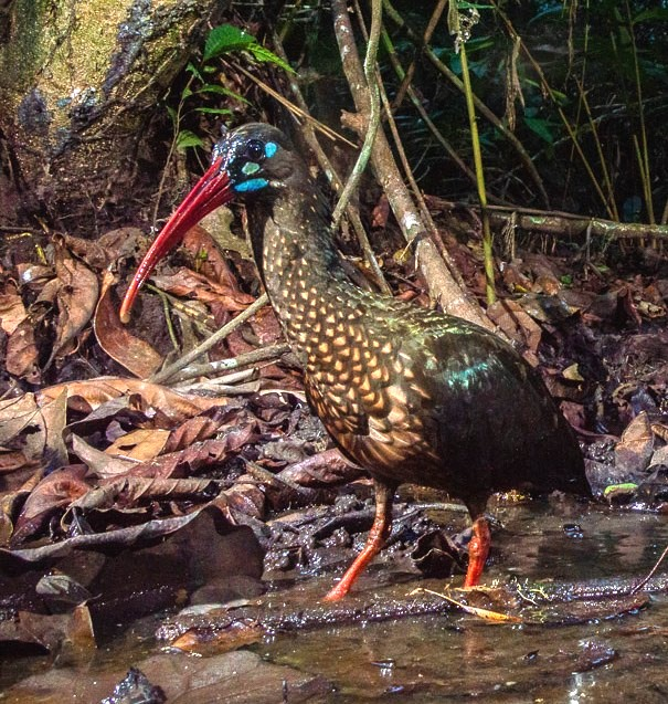 Spot-breasted IbisForest Stream
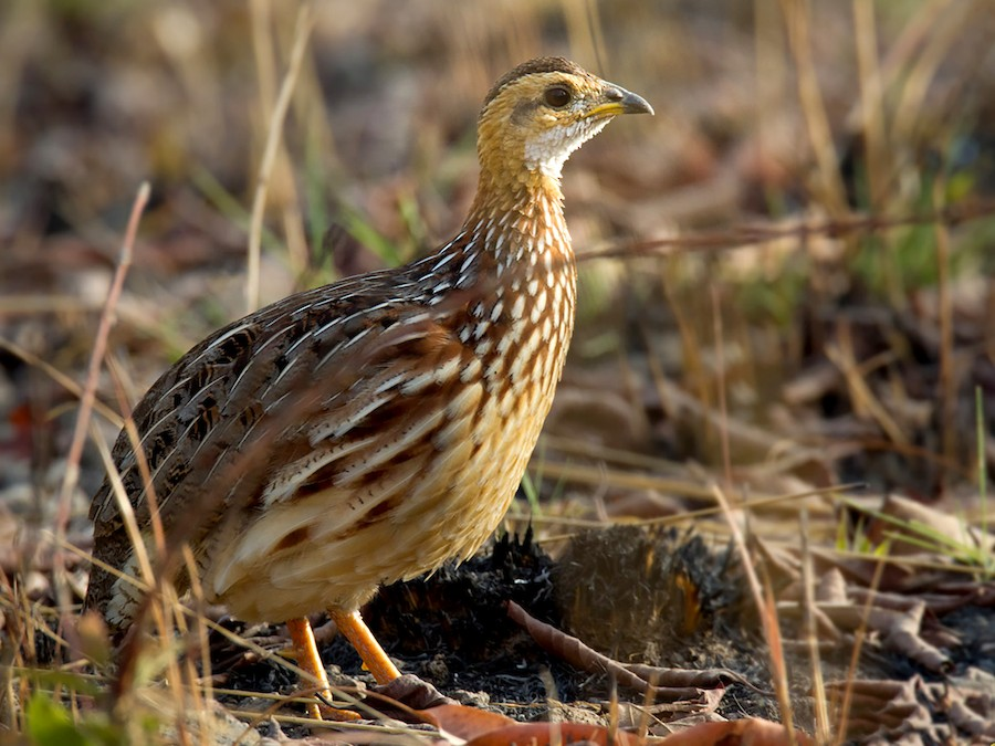 White-throated FrancolinDambo Margin
 Margaret's BatisMavunda Thicket
 Bocage's WeaverNorth-western Rivers
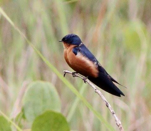 Black-and-rufous SwallowDambo Grassland
Although Zambia has only one true national endemic, the north-western corner holds a remarkable concentration of birds that — within Zambia's borders — are found nowhere else in the country. Birders call these "specials."
The dry season months of May through October bring the clearest skies and most reliable wildlife viewing — and are also the best time for birding, when vegetation thins and birds are easier to locate. The weeks immediately following the rains (April to May) offer the bonus of breeding plumage on many species and migrant arrivals.
Zambezi Nsulu is not a specialist birding camp, and we do not operate as one. Guests who arrive with field guides and a genuine interest in birds will find the guides willing, and the habitat willing in return.
For guests who want to build dedicated birding excursions into the Mwinilunga District — the epicentre of these rare habitats — we can help arrange the logistics. Please mention it when you enquire.

Work is underway at Zambezi Nsulu toward the reintroduction of leopard into a landscape from which they have long been absent.
At Zambezi Nsulu Conservancy, we are in the early stages of one of the most meaningful projects we can undertake — working toward the reintroduction of leopard into a landscape from which they have long been absent.
The work is preliminary. But it is real, and it is moving forward.
The leopard is not simply a trophy or an attraction. It is an apex predator whose presence regulates prey populations, shapes animal behaviour across the landscape, and signals the health of an ecosystem.
Where leopard disappear, the balance shifts — prey species concentrate, vegetation degrades, and the web of relationships that defines a wild place begins to unravel. Returning leopard to Zambezi Nsulu is not about adding a species to a list. It is about restoring a function.
Reintroducing leopard in Zambia requires coordination with the Department of National Parks and Wildlife (DNPW), and we have been working through that process. The Licensing Committee has approved the capture framework. We are awaiting the final ministerial signature — the last step in a process that reflects how seriously Zambia takes the management of its wildlife.
The permit, when issued, will be structured around human-wildlife conflict mitigation, allowing capture and translocation of leopard from areas of verified conflict into suitable habitat such as ours. It is a framework that serves multiple purposes: it removes problem animals from community areas and places them where they belong — in wild, managed landscapes with prey, space, and protection.
Current status: Capture framework approved by the DNPW Licensing Committee. Awaiting final ministerial signature before work can advance.
Leopard reintroduction and recovery is not untested territory. Across the continent, carefully managed translocation programmes have shown that where habitat is restored, prey is sufficient, and poaching is controlled, leopard can and do return.
African Parks translocated leopards from South Africa — the first to cross international borders into Malawi — as part of a systematic restocking programme to restore the reserve's full predator complement after nearly two decades of absence.
Source · African ParksFour years of rigorous counter-poaching operations helped triple leopard density in southern Kafue — from roughly 1.5 to 4.4 leopards per 100 km² between 2019 and 2022 — proving that where protection is serious and sustained, the animals respond.
Source · PantheraLeopards have returned naturally for the first time in 170 years — the result of two decades of habitat-corridor restoration and a shift toward human-wildlife coexistence across the broader landscape.
Source · Good News NetworkThe lesson from each of these projects is the same: recovery is possible, but it requires the right conditions — secure habitat, adequate prey, community buy-in, and the patience to let the work take hold.
Zambezi Nsulu was established as a managed wildlife conservancy funded through safari, and the anti-poaching and wildlife management work we have invested in from the beginning lays the groundwork for exactly this kind of outcome. The headwaters landscape we protect is intact. Prey populations are present and recovering. The community partnerships we are building give the people alongside this land a reason to protect it.
Leopard reintroduction is the next chapter — not a shortcut, but a milestone that reflects the maturity of what we are building. We will share progress as the regulatory process concludes and the work advances.

A new agreement lets the conservancy retire fishing pressure along a key stretch of the river — and give the fishery room to recover.
The conservancy has acquired the fishing rights along a 7.8-mile stretch of the West Lunga River from the local holders who controlled them. It is a quiet but significant step — and one made the right way, by agreement with the people who live alongside the river rather than at their expense.
With those rights now held by the conservancy, the pressure on this section of water can be retired. Left to rest, the West Lunga's fish populations can rebuild — restoring a stretch of river that anchors the wider headwaters ecosystem and the wildlife, birdlife, and communities that depend on healthy water.
Fishery restoration sits alongside anti-poaching, wildlife programs, and community partnership as part of how Zambezi Nsulu protects this landscape at the source of the Zambezi. We will share more as the recovery takes hold.
Why this high, quiet corner of north-western Zambia that includes Zambezi Nsulu is considered the headwaters of one of Africa's greatest rivers.
A short distance north of Zambezi Nsulu, in a black, marshy dambo set in dense miombo woodland near Kalene Hill, a small spring rises out of the ground at about 5,000 feet above sea level. It is unremarkable to look at — water seeping up beneath the tree roots into a quiet patch of wetland. Yet this is the recognised source of the Zambezi, "the Great River," which flows more than 1,600 miles from here to the Indian Ocean.
The spring sits on the Congo–Zambezi watershed — a belt of high ground where the land decides which way its water will run. A few miles to the north and the rain drains toward the Congo Basin; here, it gathers and begins the long journey south and east that becomes the Zambezi.
A protected origin: The land immediately around the source is recognised as a national monument, forest reserve, and Important Bird Area — a measure of how significant this small, wet, wooded corner of Zambia really is.
Flowing more than 1,600 miles from Zambian wetlands to the Indian Ocean, the Zambezi is Africa's fourth-longest river, after the Nile, Congo, and Niger. Dr. David Livingstone envisioned it as a highway to central Africa, but the impassable Cahora Bassa Rapids in Mozambique dashed the dream.
It is the longest eastward-flowing river into the Indian Ocean, and the largest by volume flowing into it from Africa. Its Kariba Dam holds back the largest man-made reservoir in the world by volume — power for Zambia, Zimbabwe, and beyond. All of it begins in the wetlands at our doorstep.
A great river does not begin as a torrent. It begins as a landscape. Across this high plateau, rainfall is caught and held by an archipelago of dambos — seasonally waterlogged grassy wetlands — laced through the miombo and dry evergreen forest. These wetlands act as a slow sponge, soaking up the rains and releasing them gradually into channels and drainages through the dry months.
It is this diffuse, spongy network — not a single stream — that sustains the infant river. From the source, the Zambezi first runs north for some 30 kilometres before turning south-west around Kalene Hill and slipping into eastern Angola, where it gathers the bulk of its early flow before re-entering Zambia. Protect the sponge, and you protect the river. Drain or degrade it, and the whole system downstream feels it.
It helps to think of the headwaters not as a single point, but as a region. The marshy spring near Kalene Hill is the recognised source — the spot on the map — yet the river is truly born of the entire high plateau around it: a broad sponge of dambo wetlands, miombo, and dry evergreen forest that collects the rains and meters them into the infant Zambezi. Zambezi Nsulu lies just 35 miles from the source spring at Kalene Hill — well within that headwaters region. The conservancy is not merely near the headwaters — it is part of them.
That distinction matters. The wetlands, gallery forest, and rare cryptosepalum woodland we protect are the very habitats that hold and release this water; the West Lunga River along the conservancy's southern boundary is part of the same upper-Zambezi drainage, flowing south through the Kabompo to join the main river. What happens to this ground happens to the river. A headwaters is only as healthy as the whole landscape that feeds it — and Zambezi Nsulu is a working piece of that landscape.
That is why the conservancy's first purpose is the protection of this ground. Guarding the headwaters guards a river that eight countries and more than forty million people depend on — far beyond any boundary we draw. To stand here is to stand at the beginning of the Zambezi.
A history of the Mwinilunga and Ikelenge country — the people and the land at the source of the Zambezi.
In the local Lunda tongue, the source of the Zambezi is called Nsulu ya Yambezhi — the headwaters of the Zambezi. It is from this phrase that Zambezi Nsulu takes its name. The conservancy sits in the far north-western corner of Zambia, in the country shared today by the Mwinilunga and Ikelenge districts, hard against the borders with Angola and the Democratic Republic of Congo.
This is old, lived-in land. To protect it well is to understand the people who have shaped it for nearly three centuries — the Lunda, and the rivers, forests, and plains they have moved through, farmed, hunted, and held sacred.
Two districts, one country: Ikelenge District was carved out of Mwinilunga in 2010, and it is here — near Kalene Hill — that the Zambezi rises. The conservancy lies within this greater headwaters region, where the two districts meet the forests and dambos of the upper West Lunga.
The historian Iva Peša called this a story told along roads — of communities that absorbed trade, colonial rule, and new economies while keeping their core identity, tied to kinship and land, intact. It is a history not of rupture, but of resilience.
In the mid-18th century, groups under Chief Kanongesha migrated south from the great Lunda heartland at Musumba, in today's DRC, reaching the upper Zambezi around 1740–1755. Oral tradition tells of epic journeys and the granting of prestigious titles — Mwinimilamba the pathfinder, Ikelenge, Nyakaseya — whose descendants still hold chiefly roles today.
They met earlier inhabitants, the Mbwela, not by simple conquest but through intermarriage, alliance, and the exchange of titles. The Mbwela were acknowledged as the "owners of the land," with ritual roles in installing chiefs. The blended society that resulted still echoes in local identity.
Long before any European arrived on the ground, this country was linked to wider worlds. Caravan networks tied it to the Angolan coast through Ovimbundu and Portuguese intermediaries. Calico, guns, beads, and salt flowed inland; ivory, beeswax, rubber, and food flowed out.
Wealth here was measured not in goods but in people and relationships. Headmen who controlled scarce items could attract followers and build authority — patterns of obligation and connection that outlasted any single trade route.
Formal colonial presence came late and lightly. Administrators only began serious reconnaissance around 1906–07, and held little real control. When a hut tax arrived in 1913, whole communities melted into the bush or slipped across the borders into Angola and Congo — tactics that repeatedly forced concessions.
Efforts to herd people into large roadside villages met stubborn resistance; small, dispersed settlements suited the ecology of the fragile Kalahari sands and a deep preference for autonomy. Chiefs and headmen became brokers, mediating between villagers and the state while the older patterns of mobility and reciprocity persisted.
In the early 1950s the anthropologist Victor Turner conducted his famous fieldwork among the Ndembu (Lunda) here, and his studies of ritual, healing, and village life shaped ideas still taught worldwide. He documented both the strains of labour migration and the resilient traditions people actively kept alive.
Since independence in 1964, the headwaters country has remained somewhat peripheral in national life — but its rhythms of farming, mobility, and local leadership continue. The annual Chisemwa cha Lunda ceremony, revived in 1996 under Senior Chief Kanongesha, still draws people home each September.
North of the conservancy, a low ridge of Karoo sandstone rises to about 5,000 feet — Kalene Hill, cool and breezy, with views far into Angola and the DRC. Near its foot the Zambezi rises from a marshy spring the Lunda call Nsulu ya Yambezhi.
In 1884 the missionary Frederick Stanley Arnot identified the source here; in 1905 Dr. Walter Fisher founded a hospital on the hill that still serves the region. At independence in 1964 the source was declared a national monument, marked with a copper plaque. It is the literal beginning of Africa's fourth-longest river — and it lies within a long day's reach of the conservancy.
This remains a frontier of low population and high rainfall — among the wettest country in Zambia, watered by the rivers it gives birth to. In recent decades a quiet dynamism has grown alongside the old continuities.
Thousands of small-scale beekeepers across the district produce organic honey for export to Europe — a sustainable harvest drawn straight from the miombo forests.
Forest Fruits LimitedIkelenge is Zambia's largest producer of sweet pineapples. A fruit-processing factory near Kalene Hill, commissioned in 2022, now supports more than 1,500 small-scale farmers.
Kalene Hills Fruit CompanyCommunity resource boards and conservation trusts are working to safeguard the forests, floodplains, and rivers of the greater West Lunga landscape — the work Zambezi Nsulu is part of.
Community-based managementZambezi Nsulu does not sit on empty ground. It sits in a landscape that the Lunda have inhabited for nearly three centuries — a country that has long practiced, in Peša's phrase, the art of adaptation without erasure. The conservancy's community agreements, its anti-poaching work, and its boreholes are written into that same long story of living with this land rather than against it.
Further reading: Iva Peša, Roads through Mwinilunga: A History of Social Change in Northwest Zambia (Brill, 2019), and the Ndembu studies of Victor Turner. This overview draws on Peša's social history alongside broader geographic and contemporary sources.